
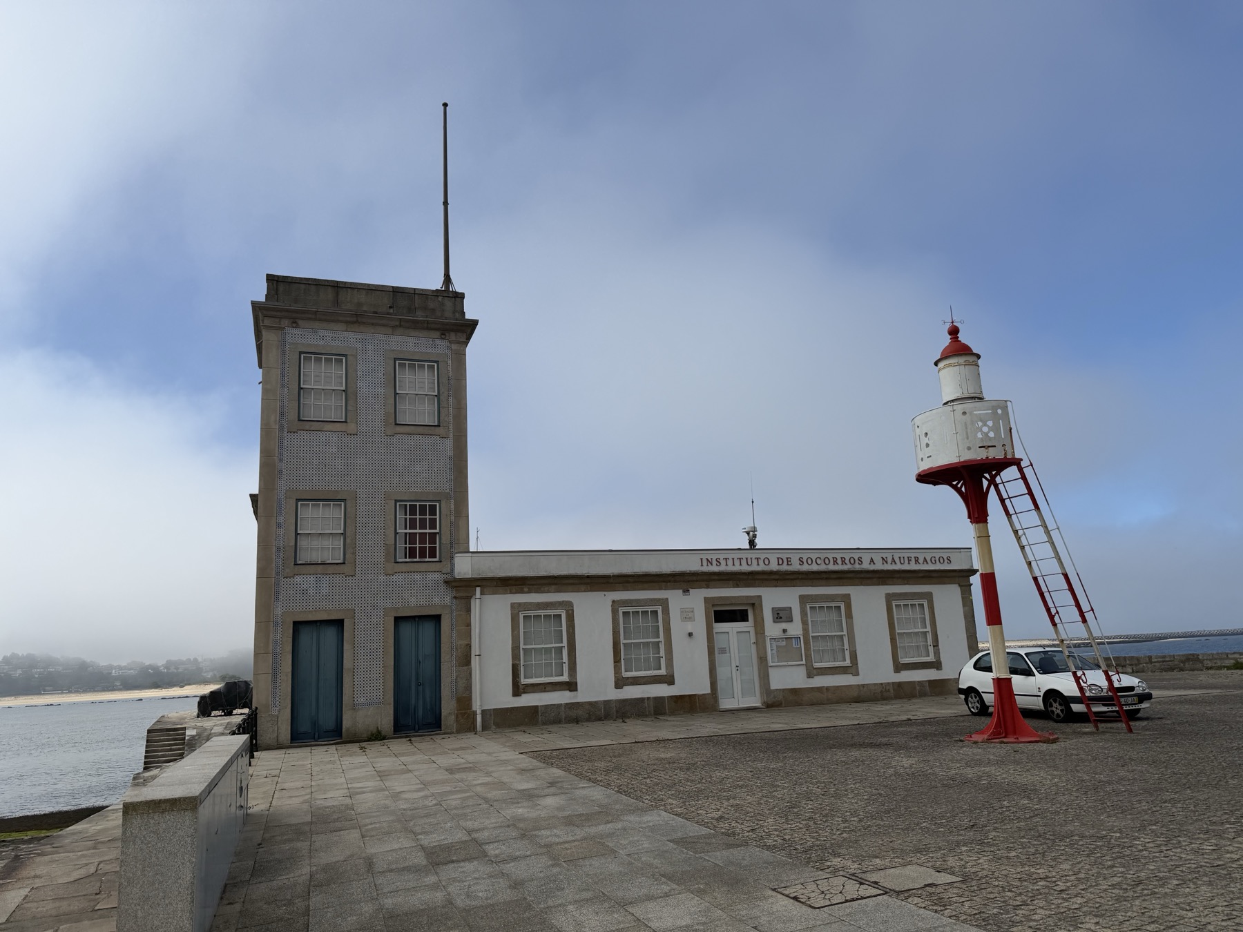
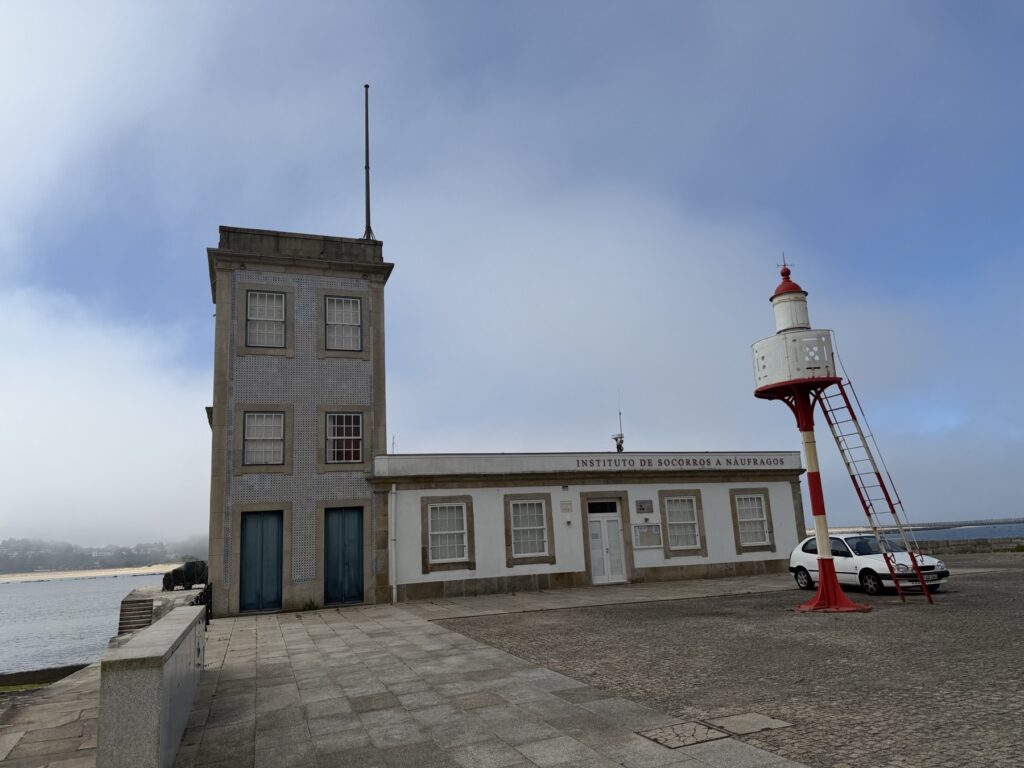
The Coastal Route of the Camino de Santiago doesn’t start gently. It starts at the edge of the Atlantic Ocean, where the Douro River finally surrenders its long journey to the sea. That’s where I began Day 1: standing outside the old maritime rescue station at Foz do Douro as the morning fog still clung to the water.
Thirty-nine kilometers to go.
That elevation profile tells the whole story of Day 1: almost perfectly flat. The Coastal Camino from Porto to Póvoa de Varzim never climbs above 27 meters. There are no mountain passes, no punishing climbs — just the steady, relentless challenge of distance.
That said, 39 km is perhaps too aggressive a way to begin. This is the longest single-day stage you’ll encounter on the Coastal Route, and throwing it at yourself on Day 1 — before your legs have found their rhythm, before you know how your boots feel at hour nine — is a bold call. Most guides split this into two stages at Leça da Palmeira or Vila do Conde for good reason. I pushed through, and I paid for it by day’s end. Because of the distance, this was one of the two hardest days of our whole Camino. If you’re not already logging long distances regularly, strongly consider stopping in Vila do Conde and saving the final 7 km for the morning.
Porto → Matosinhos (0–5 km)
The walk begins on cobblestone. Porto has a lot of cobblestone. You’ll follow the coast north along the Avenida do Brasil, a wide seafront promenade that feels more like an outdoor living room than a pilgrim route. Runners, cyclists, dog walkers, elderly couples — everyone shares this path. The yellow arrows that mark the Camino are easy to miss in the first few kilometers; don’t worry, you can’t really get lost when the ocean is ten meters to your left.
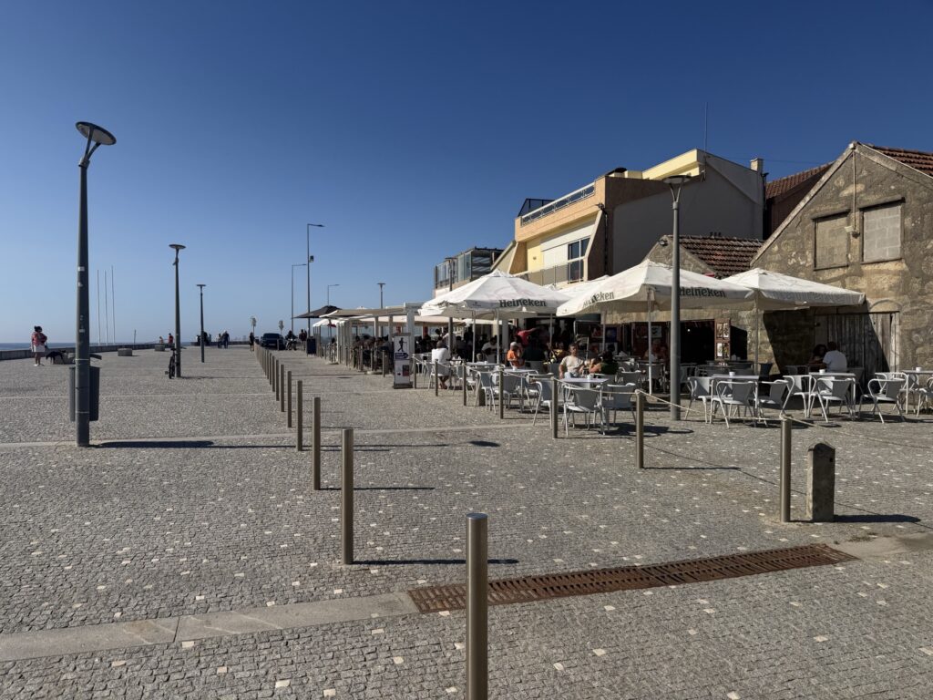
At roughly 4 km, you arrive in Matosinhos, famous for its grilled fish restaurants and no-fuss port-side atmosphere. The seafront here has been polished into a wide promenade of granite and good intentions — exactly the kind of place where a coffee stop turns into forty minutes of watching the world move.
One practical note: there is a bridge on the route through Matosinhos that is currently closed. The Camino waymarking will direct you to a free shuttle bus that runs as a replacement — it comes every 15 minutes and drops you on the other side. Follow the yellow arrows; the bus stop is signed and other pilgrims will be waiting there. It adds maybe 20 minutes to your day but costs nothing.
Matosinhos → Leça da Palmeira (5–10 km)
North of Matosinhos, the route passes through Leça da Palmeira, a quieter stretch of coast where Álvaro Siza Vieira’s famous ocean swimming pools sit directly in the rocky shoreline. Even if you’re not swimming, they’re worth a pause — a masterclass in architecture that knows when to step aside. The pools look like they grew there.
It’s also around here that you first start to notice the litter problem Portugal is fighting. Plastic bottles washed up against the rocks. Bags tangled in seagrass. Which makes the next landmark hit harder.
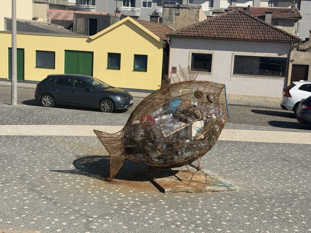
The fish sculpture — a life-sized wire frame filled entirely with ocean-collected plastic — stands on a cobblestone plaza near the waterfront. No signage, no explanation. Just a fish made of trash, looking you in the eye.
Leça → Mindelo (10–22 km)
The middle section of the day is the most solitary. The route passes through small beach towns, nature reserves, and long stretches of dune where the only sound is wind and wave. Long wooden boardwalks carry you above the sand — welcome relief after kilometers of cobblestone and asphalt.
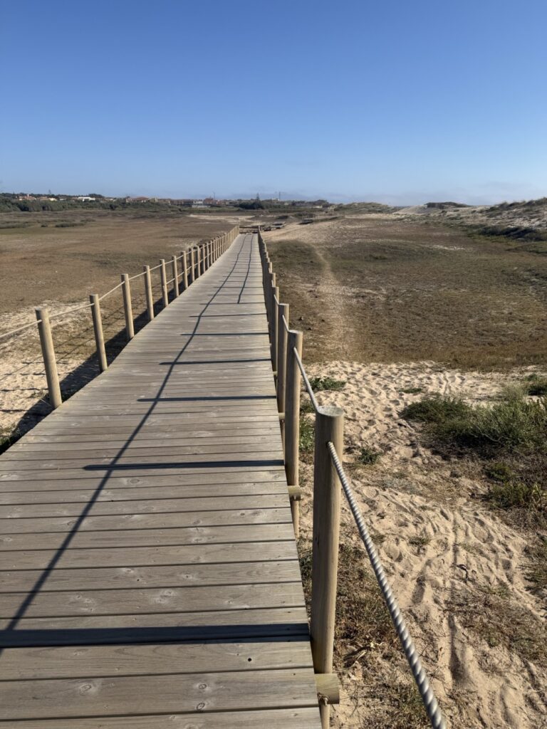
This is where the day becomes meditative. There isn’t much to see in the traditional tourist sense. No monuments, no restaurants. Just open sky, sand, and the rhythm of walking. If you’ve been hiking with others, conversation tends to fall away here. People stop talking and start listening.
Mindelo is a small coastal town where the route turns briefly inland before returning to the coast. There’s a café and a pilgrim stamp — take both.
Mindelo → Vila do Conde (22–32 km)
By the time you reach Vila do Conde, you’re 30+ km into your day and probably feeling it. Which is why the aqueduct comes as such a welcome surprise. The Aqueduto de Vila do Conde — built in the 16th century, with 999 arches stretching across the valley — rises out of a field alongside a sports stadium in a pairing that makes no architectural sense whatsoever. It works anyway.
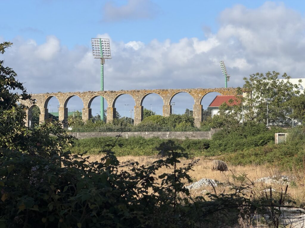
Vila do Conde’s compact historic center has a 14th-century Franciscan convent, a riverside beach, and a welcome number of cafes. It’s also where most people stop if they’re doing this in two stages — a reasonable decision.
Vila do Conde → Póvoa de Varzim (32–39 km)
The final push to Póvoa de Varzim is short on distance but can feel long when you’re 32 km deep. The two towns practically merge — you’ll cross the Ave River on a modern footbridge and find yourself in Póvoa almost before registering that you’ve left Vila do Conde.
Póvoa de Varzim is a proper seaside city: lively central square, Atlantic-facing boulevard, restaurants that have been feeding tired pilgrims for centuries. Get a full meal. Order a second dessert. You walked 39 km today.
Practical Info
- Start: Foz do Douro, Porto — the Instituto de Socorros a Náufragos marks the traditional starting point at the river mouth
- End: Póvoa de Varzim town center
- Distance / Difficulty: 39 km — easy terrain, challenging distance; most people split this into two stages
- Getting there: From Porto center, take the Metro A line to Matosinhos Sul, then walk 2 km south to Foz do Douro; or take a taxi/Uber direct to the lighthouse
- Bridge closure at Matosinhos: A free replacement shuttle bus runs every 15 minutes — follow the yellow arrows to the stop
- Food & water: Readily available throughout — this is a populated urban and suburban route
- Pilgrim passport stamps: Available at the Porto Cathedral, Matosinhos Town Hall, and the Vila do Conde pilgrim office
- Trip cost: The whole Camino cost us a few thousand dollars. We chose to use a luggage service and stay in hotels.
- Accommodation in Póvoa: Several albergues (pilgrim hostels) and hotels used to hosting tired walkers — book ahead in summer