
After two days on the Coastal Camino, you expect to see the ocean. On Day 3 it goes away. The route leaves Esposende and turns inland, onto farm roads and stone-walled lanes and through pine woods. It also has the first real climbs since Porto. That was a surprise on a route with “Coastal” in its name.
On paper it looks like Day 2, at about 25 kilometres. It did not feel like Day 2. That day was flat, and this one kept going up and down. There were also so many cobblestones. Along with Day 1, this was one of the two hardest days of our Camino. We left Esposende at 8:45 in the morning and did not finish until nearly six.
Leaving Esposende
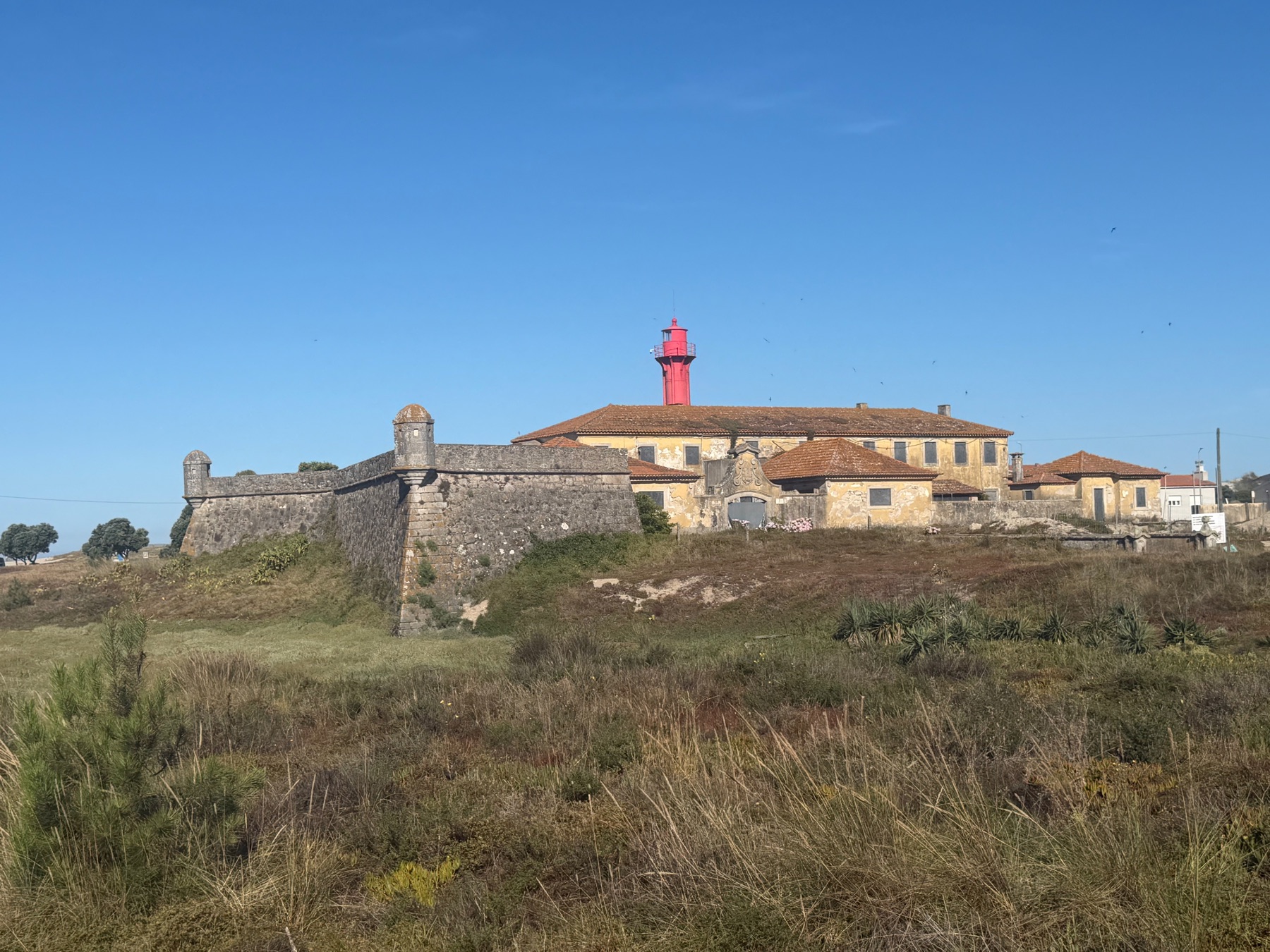
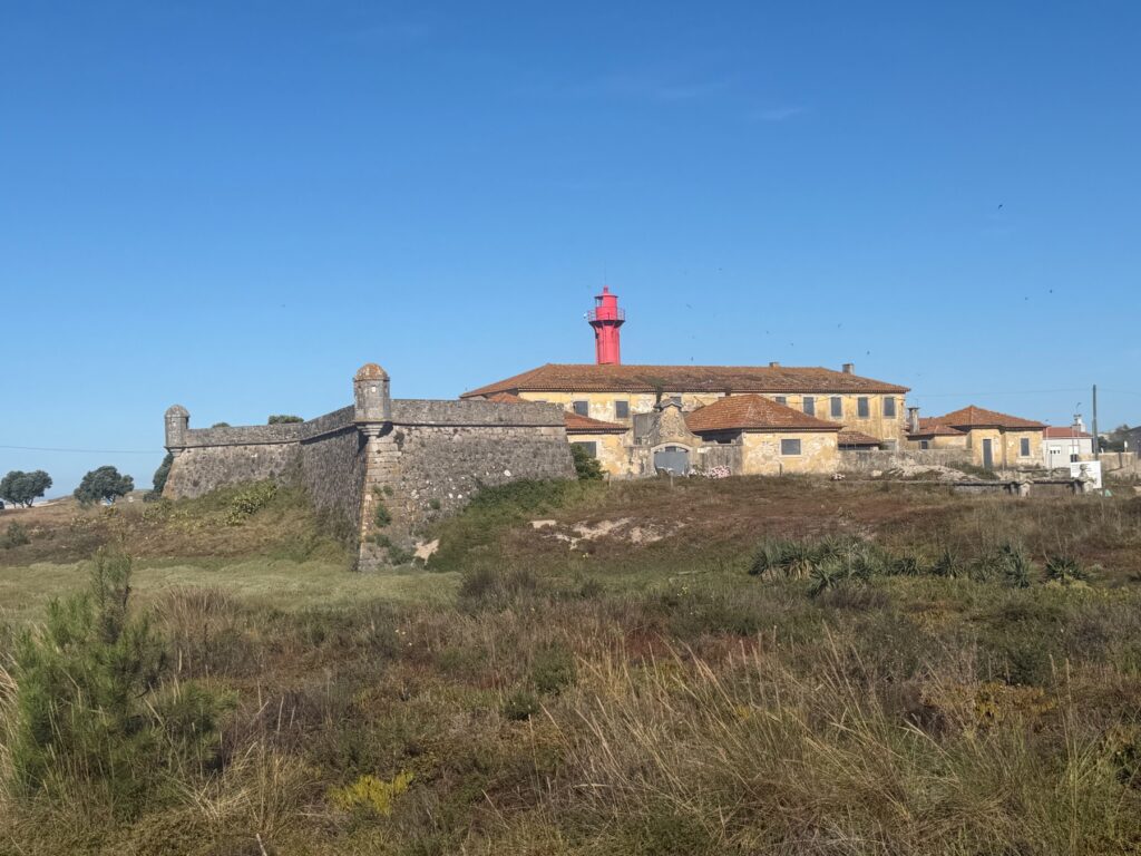
Before we left the sea, we took one last look at it. The Forte de São João Baptista has guarded the mouth of the Cávado River since around 1700. A red iron lighthouse now stands on its walls. It is an odd mix, but it looked great on a clear blue morning.
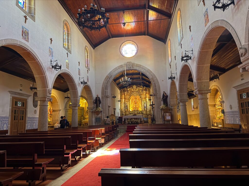
The first hour is easy. You head north through the edge of town to Marinhas, where we stopped at the parish church. From outside it looks like many other churches on the way. Inside, it has a wooden ceiling, iron chandeliers, blue tile panels and a long red carpet leading to a gold altar.
Away from the sea
After Marinhas the coast disappears. The first climb comes early and tops out above 50 metres by kilometre five. It is not a big climb, but after two flat days we felt it.
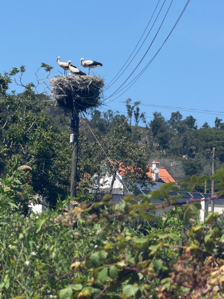
This is farm country. The route follows narrow roads between stone walls and green fields. Along this stretch we also saw storks. Their huge stick nests sit on top of utility poles above the fields.
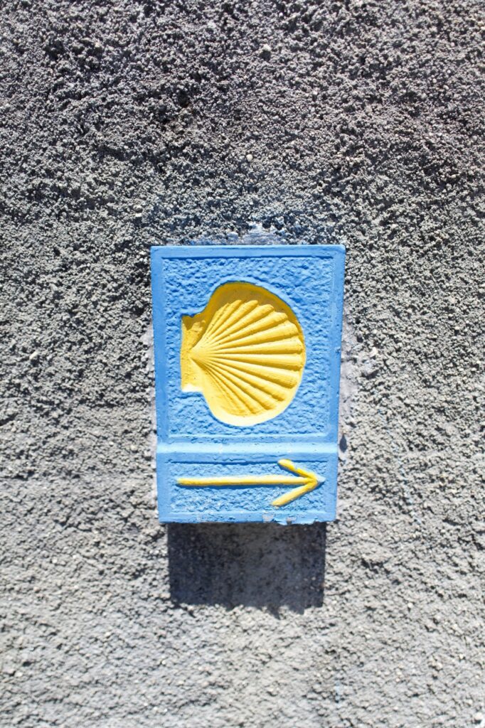
White parish churches come along every so often. Stone posts and tiles with the yellow scallop shell mark the way, and you start to look for them more closely. Without the sea on your left, the route is easier to lose, and some guides say this stage is harder to follow.
The Neiva crossing
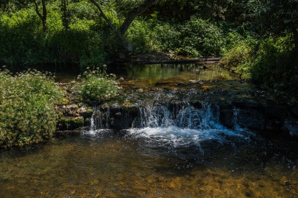
The Rio Neiva was our favorite stop of the day. Around the ten-kilometre mark, the route drops through the trees to the river. You cross on a narrow concrete walkway, low over the shallow water. There is a white cottage at the far end and small rapids just upstream.
It is not much of a bridge, but it is shady, cool and pretty. We reached it just after noon.
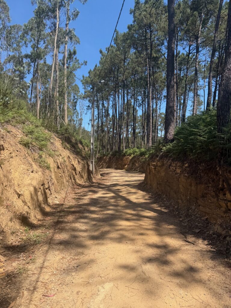
Enjoy it, because the next climb starts right away. The route gains more than 100 metres in about two and a half kilometres, reaching the high point of the day at 127 metres near Castelo do Neiva. It was the hardest climb of our Camino so far, on rough, sandy tracks through pine and eucalyptus.
The long way to the Lima
The afternoon goes up and down. The route drops to under 20 metres by kilometre 18, climbs back to 100 metres at kilometre 20, then falls to river level at Darque. There are bigger climbs later on the Camino, but this was the first day we really felt the difference between flat kilometres and hilly ones.
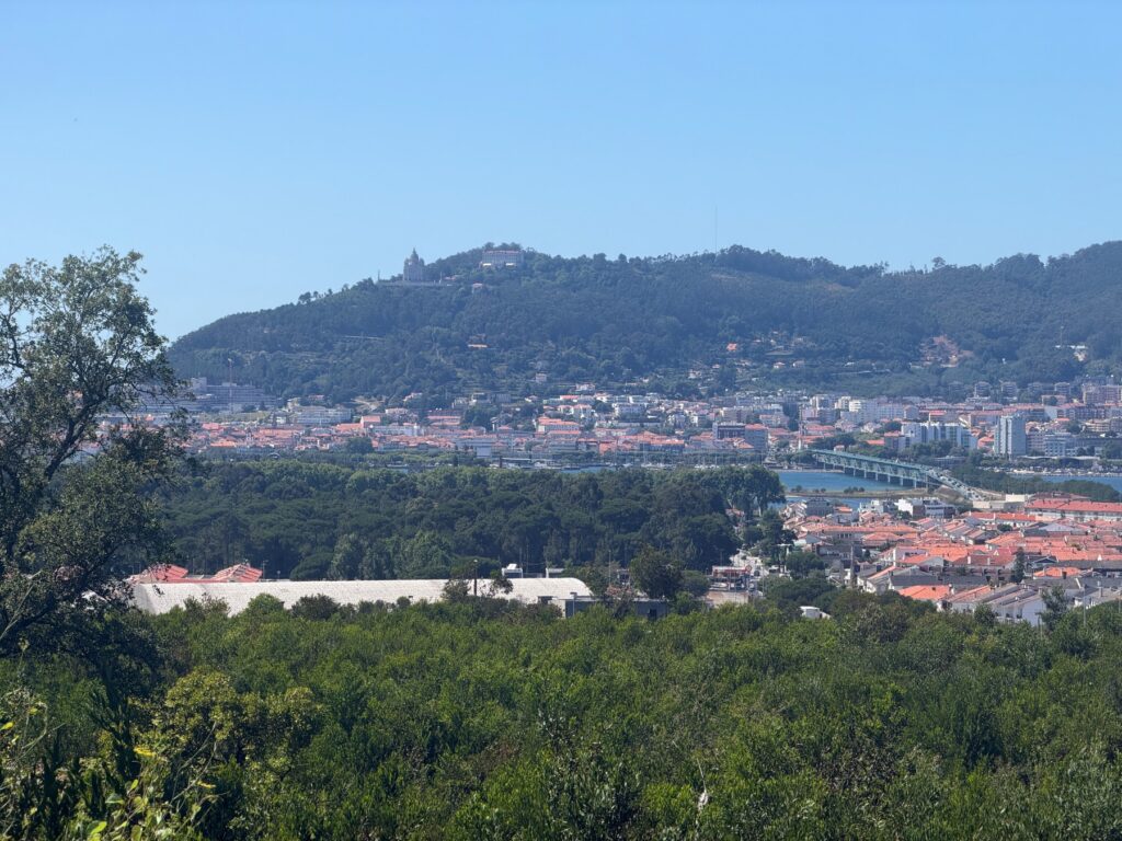
That last descent comes with a good view. As you walk down toward Darque, you can see the Lima River and the hills above Viana do Castelo on the far side. After a day of fields and trees, it was nice to see water again.
The Eiffel bridge
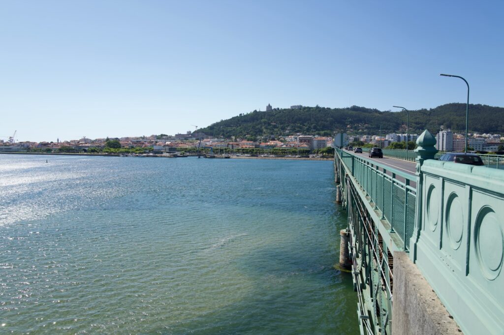
You enter Viana do Castelo on the Ponte Eiffel. The bridge opened in 1878 and was built by Gustave Eiffel’s company. It brought the railway to Viana for the first time. It still works the same way today, with trains on the lower deck and cars on the upper one.
You share the top deck with the cars, and the walkway is tight if you have a pack on. It is not a peaceful crossing, but the view is good. Green railings run beside you, and the river looks huge after a day of narrow lanes. With 23 kilometres behind you, it is great to see a town at the end of the bridge.
Arrival in Viana do Castelo
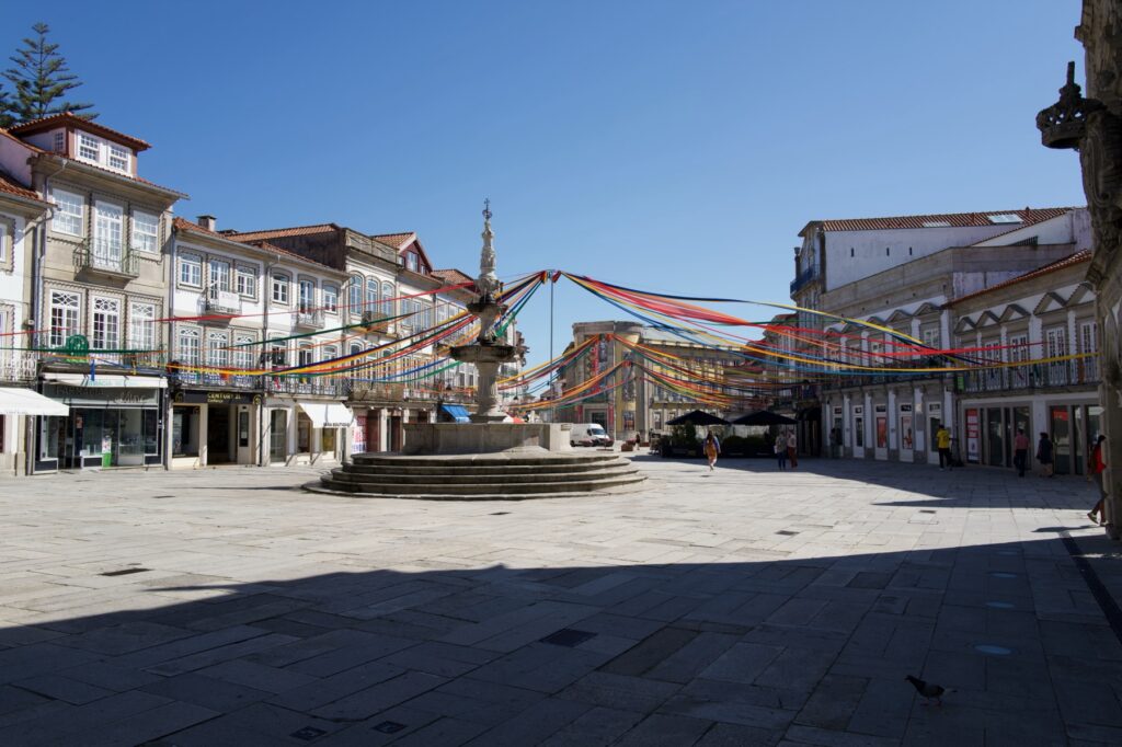
Viana do Castelo is the first place on the route that feels like a destination. The old center is a short walk from the river. The Praça da República is the place to end up. This wide square has a stone fountain from the 1550s by the mason João Lopes the Elder, and the old town hall stands beside it. When we arrived, there were strings of flags over the square, and we had nothing left to climb.
Practical Info
- Start: Esposende town centre. The fort and lighthouse are on the waterfront at the mouth of the Cávado and are worth seeing before you go.
- End: Praça da República, Viana do Castelo.
- Distance / Difficulty: 25.1 km with 362 m of gain. This was one of our two hardest days, because of the repeated climbs and all the cobblestones. The high point is 127 m at about km 12.
- Allow: Longer than the distance suggests. We were moving for under six hours but took about nine with stops.
- Navigation: Some guides call this section harder to follow than earlier stages, so carry a GPS track. A separate seaside path also runs north along the coast if you would rather stay by the water.
- Rio Neiva: The crossing can get complicated after heavy rain. Check conditions if the weather has been wet.
- Ponte Eiffel: Walkers share the upper deck with traffic and space is tight. Keep your pack close and take it slowly.
- Best time to start: Early. The climbs out of the Neiva valley fall in the middle of the day, and much of the route is exposed once you leave the trees.