
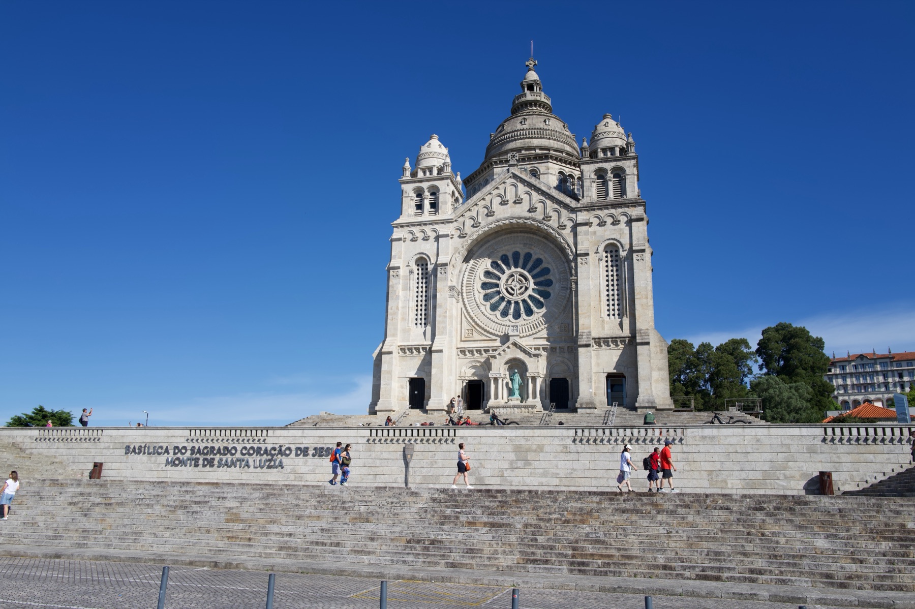
We started late on Day 4, and we did it on purpose. The hill behind Viana do Castelo has a basilica on top, and you can climb its dome. The day was clear, so we went up first. We did not start walking until almost eleven.
The stage is shorter than the last two, at 19 kilometres. The official route stays on the hillside above the coast and goes through old stone villages. It drops back down to the water at Vila Praia de Âncora.
Santa Luzia
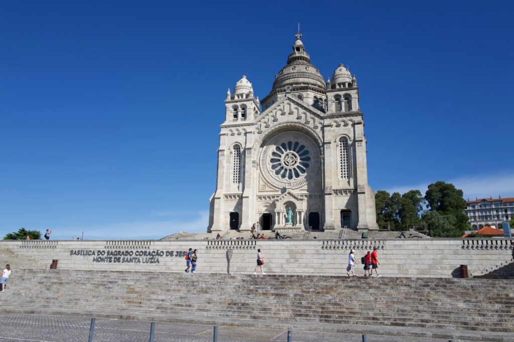
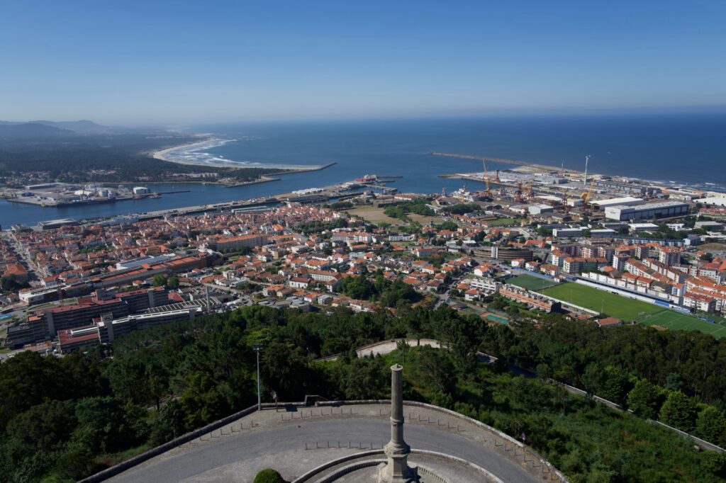
The Sanctuary of Santa Luzia took more than 50 years to build. Work started in 1904, and the basilica was not finished until 1959. The architect, Miguel Ventura Terra, took ideas from the Sacré-Cœur in Paris. You can see the dome from the river far below.
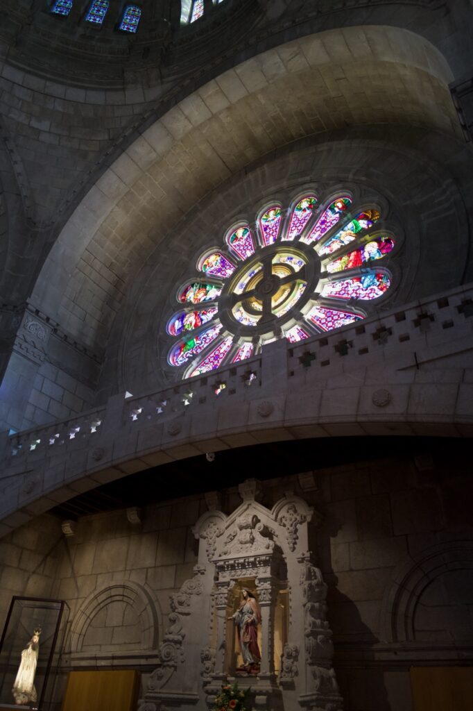
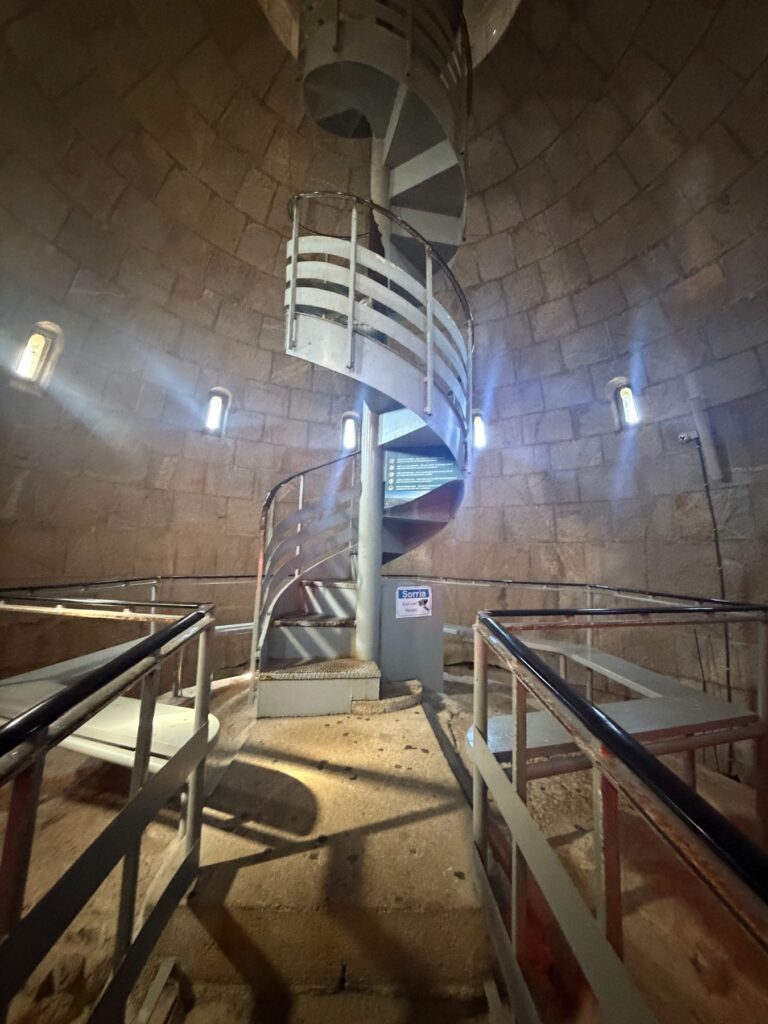
Inside, the round windows throw colored light onto the stone. The best part is the climb. A narrow stairway winds up through the building, and it gets tighter as you go. At the top you step out into the open air, high above the city.
From up there you can see the last day of walking like a map. The Lima River runs out to the sea, and the Ponte Eiffel crosses it. To the north, the coast runs toward Spain. Most days on the Camino, all you can see is the next arrow, so this was a nice change.
Leaving Viana
We set off at 10:56, heading north and straight uphill. The first two kilometres climb to more than 50 metres. After that the route stays along the hillside for a while. This is the inland option. Another unofficial route follows the coast through Areosa, Carreço and Afife, and the two meet again at Vila Praia de Âncora.
The gateway at Areosa
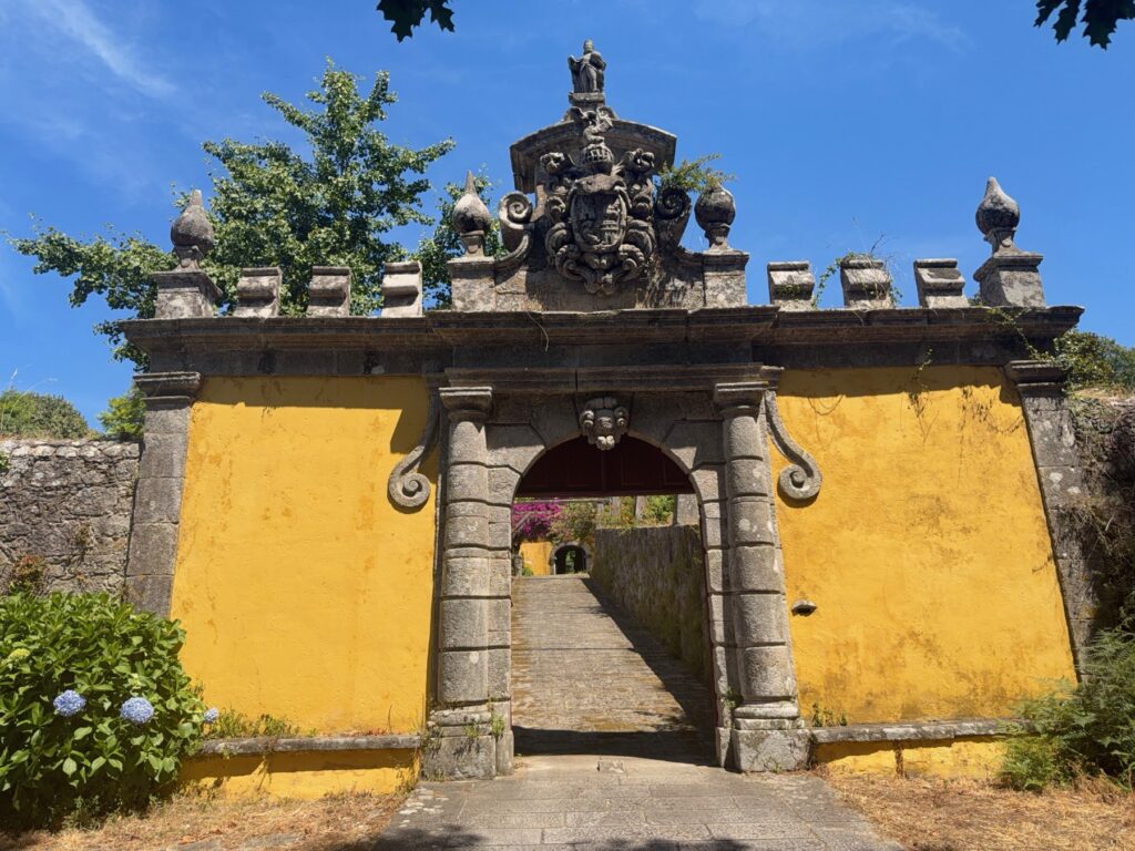
A little over an hour out of Viana, in Areosa, we came to a stone gateway set into a yellow wall. It has urns, scrolls, a carved face and a small figure on top. Stone stairs lead through the arch into a garden. There is no sign or ticket booth. It just sits there beside a country lane, with hydrangeas at its base.
Stone lanes
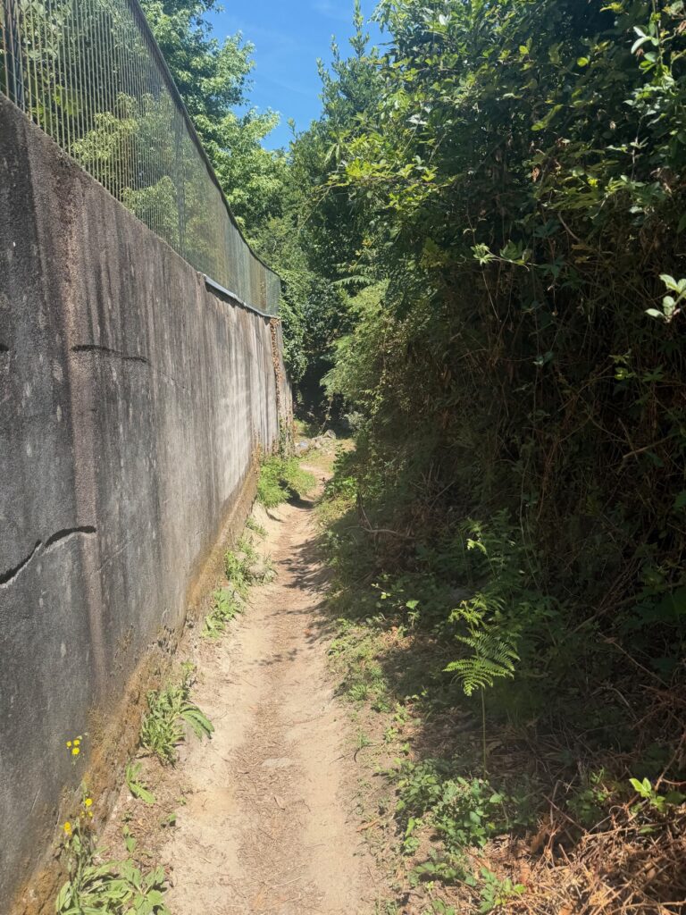
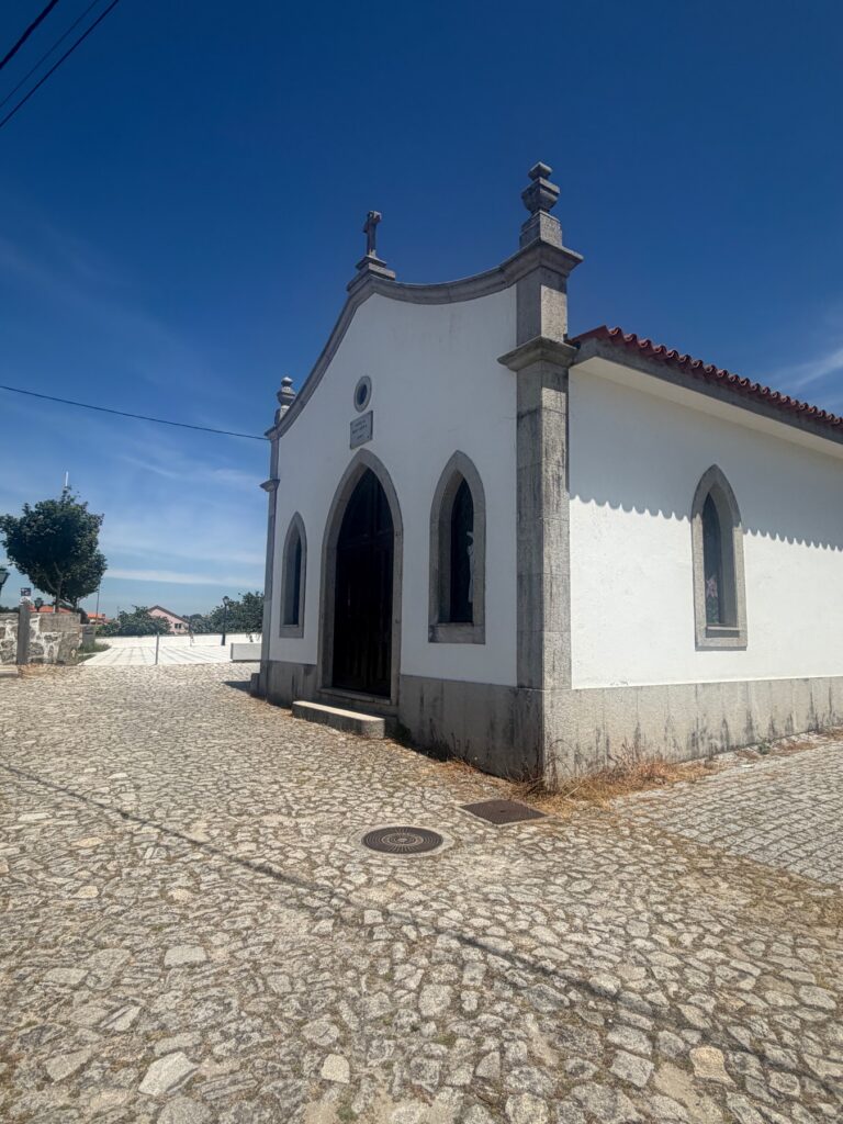
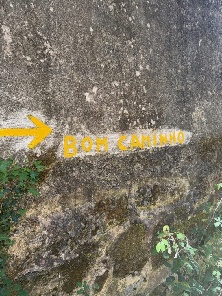
This part of the day feels old. The route follows narrow lanes between high granite walls. The ground keeps changing from cobbles to old paving to dirt. In some places the yellow arrow is painted right on the bare rock. We also passed white chapels and stone crosses along the road.
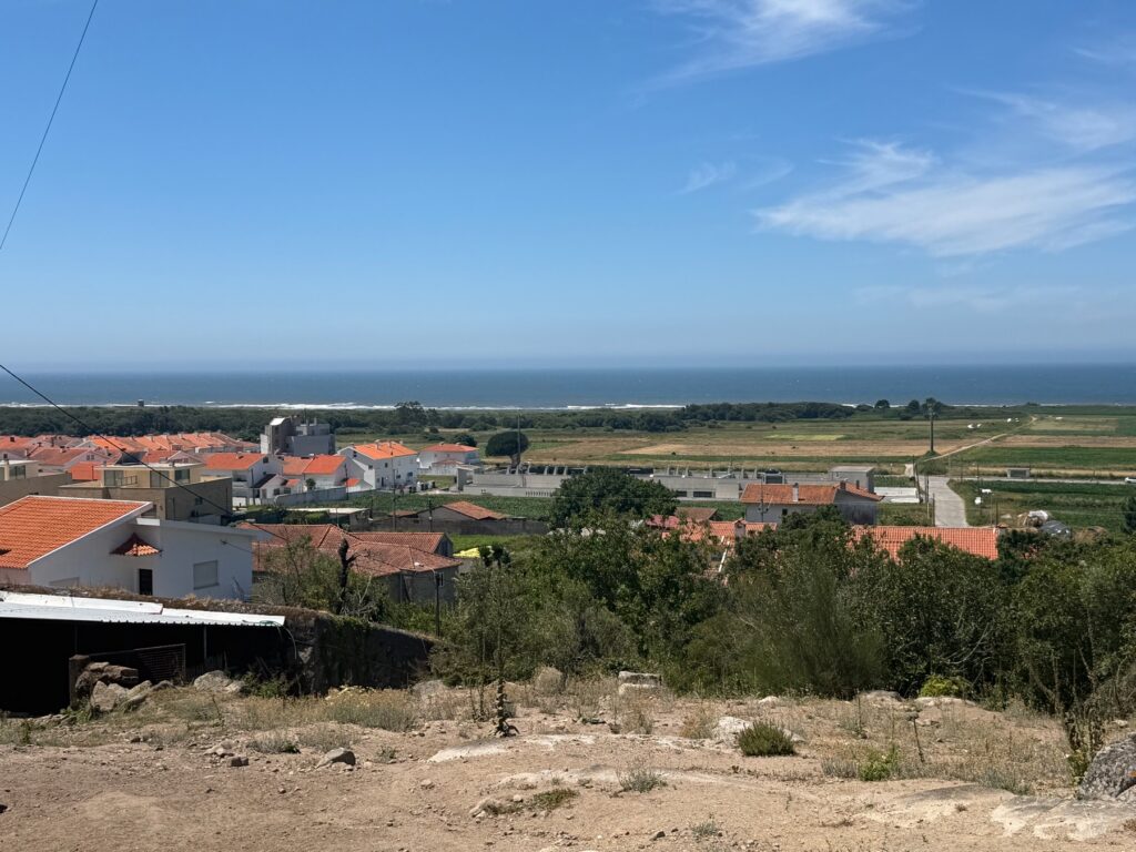
The high point comes late, 13 kilometres in, with a short, sharp climb to 141 metres. At the top the land drops away and you can see the Atlantic again.
Down to the water
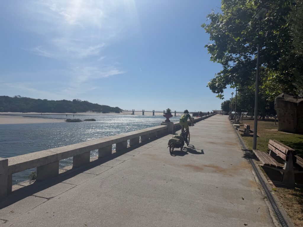
Then you lose it all. The route drops almost to sea level in about three kilometres, reaching just 6 metres by kilometre 16. Your knees will feel it. After that it is flat, and the last few kilometres run along the seafront into Vila Praia de Âncora.
Practical Info
- Start: Viana do Castelo. If you are visiting Santa Luzia, do it before you walk.
- End: The seafront at Vila Praia de Âncora.
- Distance / Difficulty: 19.1 km with 319 m of gain. Moderate, with a sharp climb to 141 m at about km 13 and a steep descent straight after it.
- Allow: Nearly five hours of walking, or about seven with stops, plus a few hours if you add the basilica.
- Santa Luzia: The funicular, in service since 1923 and described as Portugal’s longest, runs up from the city. Walkers can use the stairway instead, which one guide calls a hard 30-minute climb. Check dome opening hours in advance.
- Route choice: The official route takes the hillside inland. An unofficial coastal alternative goes through Areosa, Carreço and Afife. The two rejoin at Vila Praia de Âncora.
- Navigation: The route can get confusing in Vila Praia de Âncora, where the seafront, streets and station meet. A downloaded track helps.
- Footwear: Expect cobbles, rock and old paving through much of the stage.