
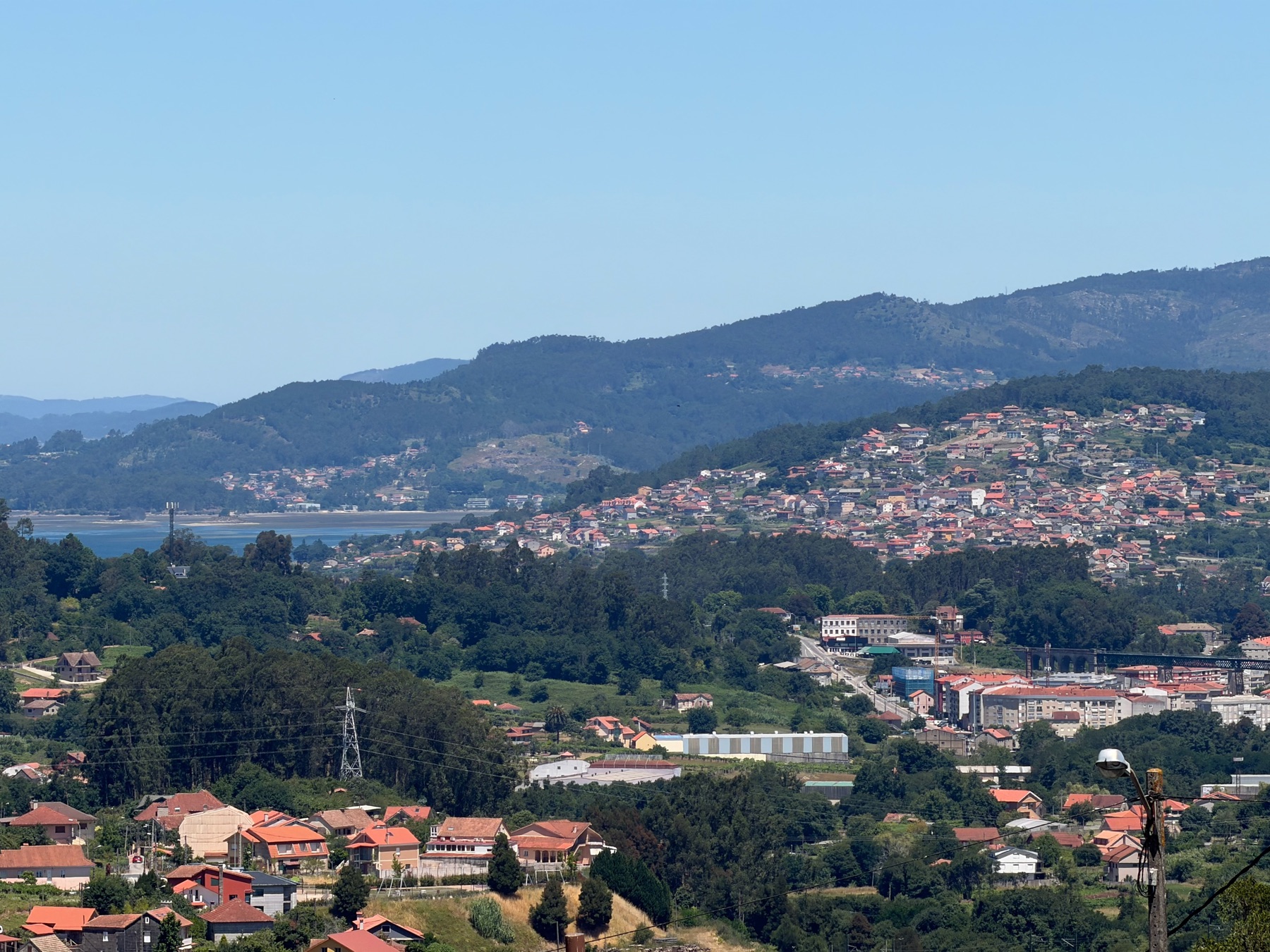
We left Tui in the dark. Spain’s clocks had moved us ahead an hour the day before, and we had nearly 30 kilometres to go to reach Redondela. At 5:48 in the morning we walked out into empty streets.
Walking before dawn feels different. The town is quiet, and sounds carry. The yellow arrows are easy to spot at noon, but in the dark you have to look for them under the streetlights.
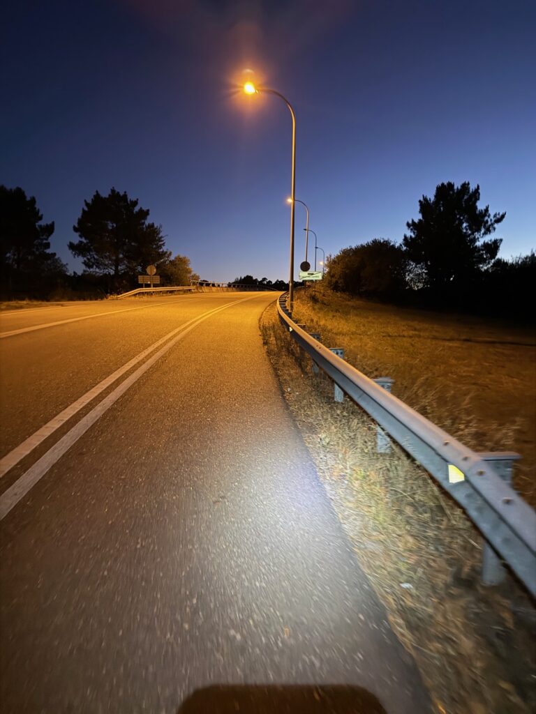
First light
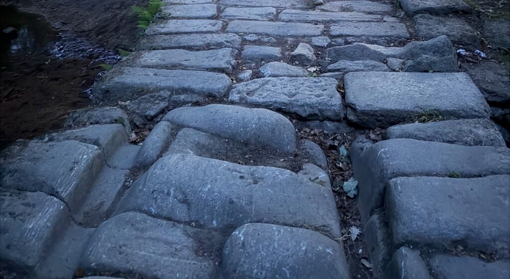
The first part of the walk out of Tui is easy and green. The sky starts to change as you leave the last houses behind, and the road turns into woodland paths. In some places, old stone paving comes up through the ground.
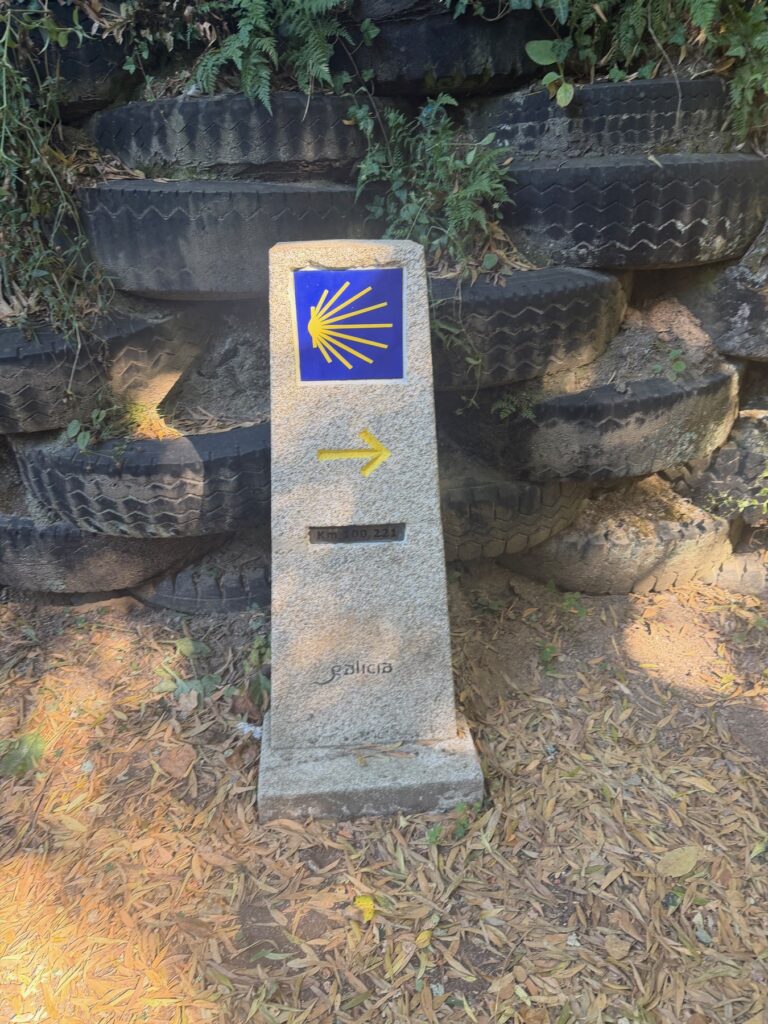
The Central Way feels different from the Coastal Route. There are many more markers counting down the kilometres to Santiago. About eight kilometres in, we crossed the Ponte das Febres, a small bridge also called San Telmo. After that the path runs through the A Ribeira woods.
O Porriño
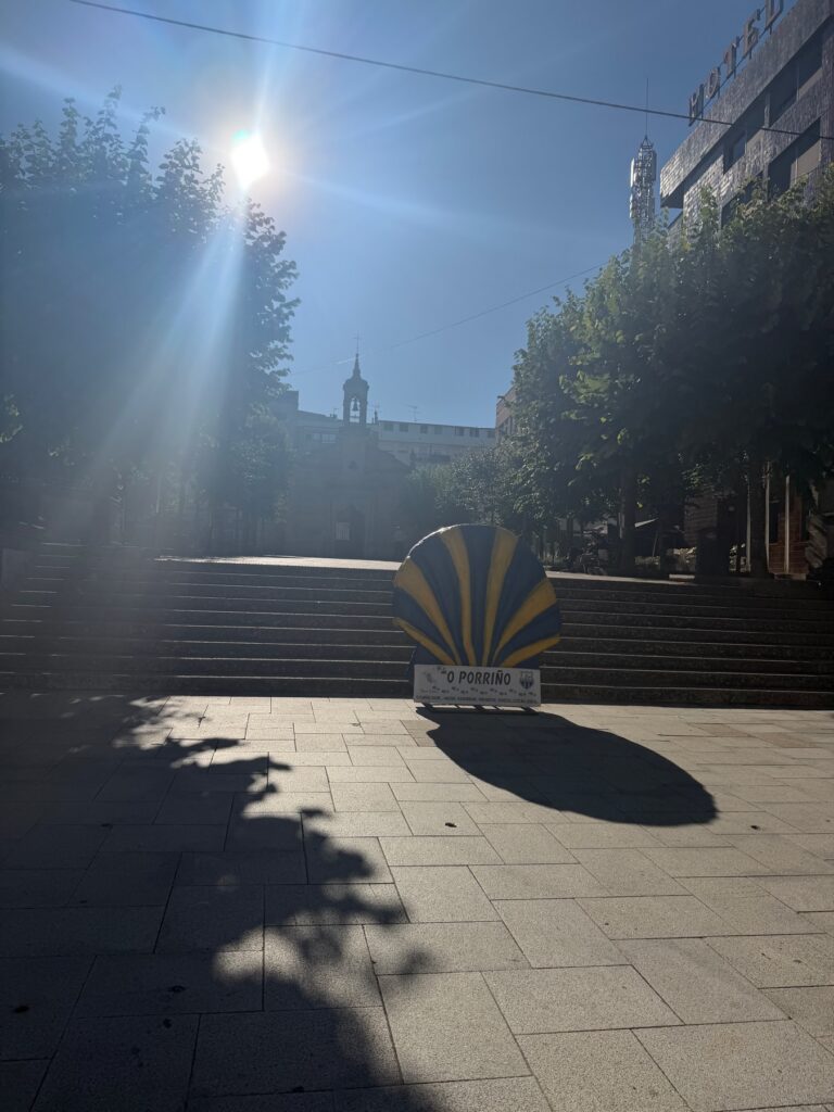
After the woods we came to O Porriño, a working town. The route crosses a red steel footbridge over the railway. Then there is a big yellow-and-blue scallop shell sculpture beside the road. We were a little over 14 kilometres in, and it was not yet ten o’clock.
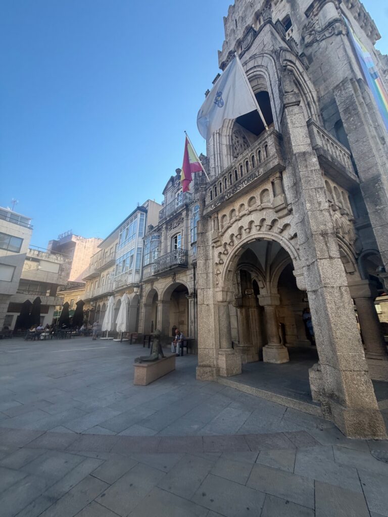
The town hall is the thing to see here. O Porriño was the birthplace of Antonio Palacios, a famous Spanish architect. He built this town hall between 1919 and 1924, in front of the house where he grew up. He is said to have drawn the plans for free. It is a heavy granite building, and it is much grander than you would expect in a town this size.
The climb
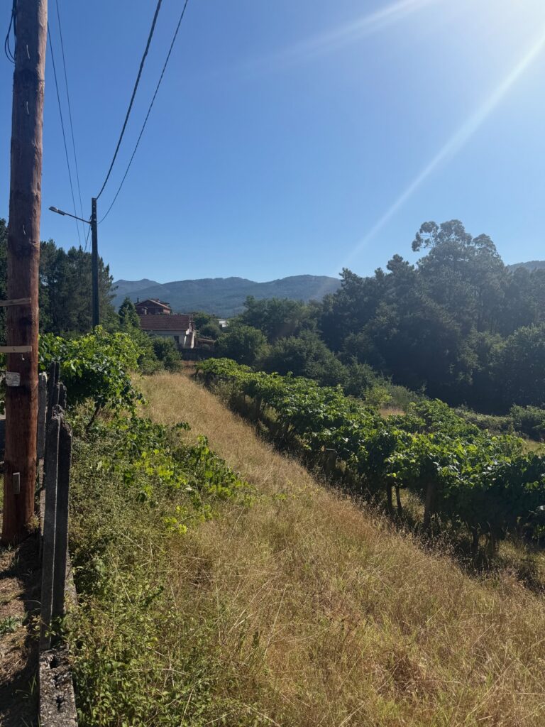
The first 18 kilometres of the day gained barely 50 metres. The next five gained 170. Past O Porriño the route goes through Mos, then climbs to the high point of the day at 228 metres. It is a real climb, and by then the sun was out and the early start was catching up with us.
There are a few small things to look at on the way up. Road signs are covered in pilgrim stickers, and a big round traffic mirror on one bend makes a good photo stop.
Down to Redondela
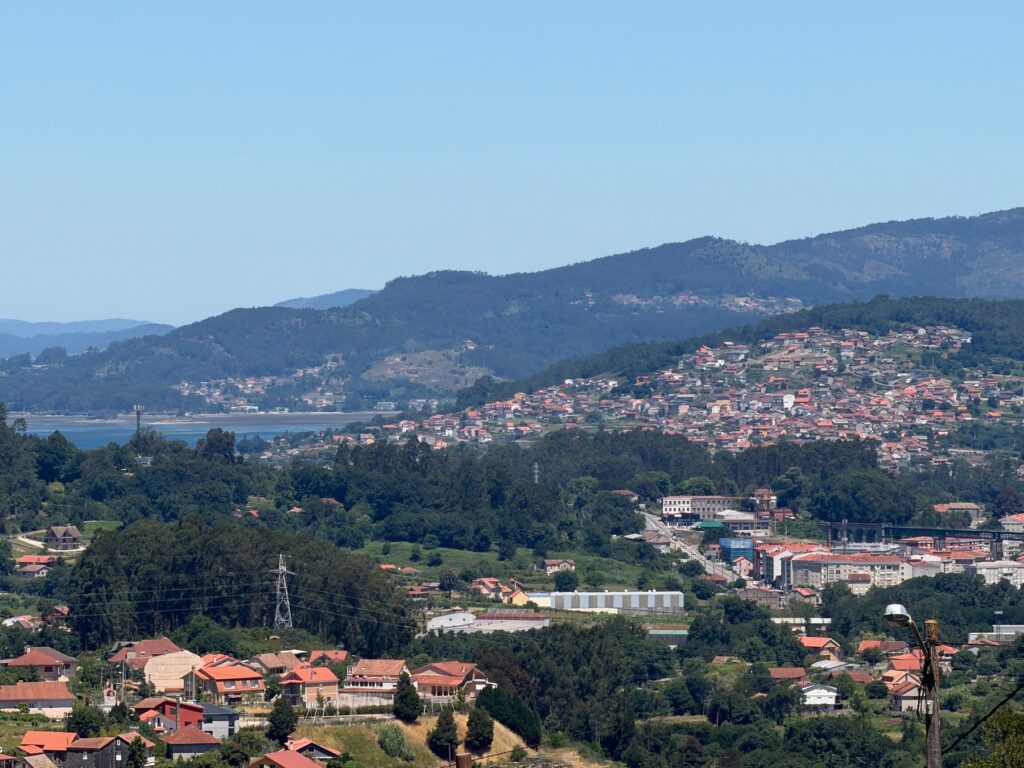
The way down is steep. You drop nearly 200 metres in about five kilometres, all on hard road. We reached Redondela a little after three, more than nine hours after leaving Tui, and sat down to a big plate of food. This is also where the Coastal and Central routes join.
Practical Info
- Start: Tui Cathedral. The arrows lead north out of the old town.
- End: Redondela town centre.
- Distance / Difficulty: 29.9 km with 526 m of gain. Moderate to hard because of the length, with one real climb to 228 m at about km 23 and a steep descent after it.
- Allow: Nine to ten hours with stops.
- Breaking it up: O Porriño, about 15 km in, is the obvious place to end a shorter stage.
- Walking in the dark: A headlamp or phone light helps on the woodland sections.
- Food & water: O Porriño has everything you need. Top up there before the climb.