
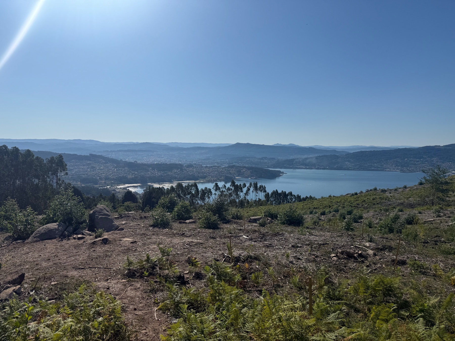
At Pontevedra, the Camino splits. Most pilgrims go straight on to Caldas de Reis. A smaller number, about one in five by one local estimate, turn left for the Variante Espiritual. This detour goes over the hills to the coast and then up the river by boat. It follows the route the remains of St James are said to have taken to Galicia.
We turned left. That choice gave us the biggest climb of the whole Camino, with a monastery at the end of it.
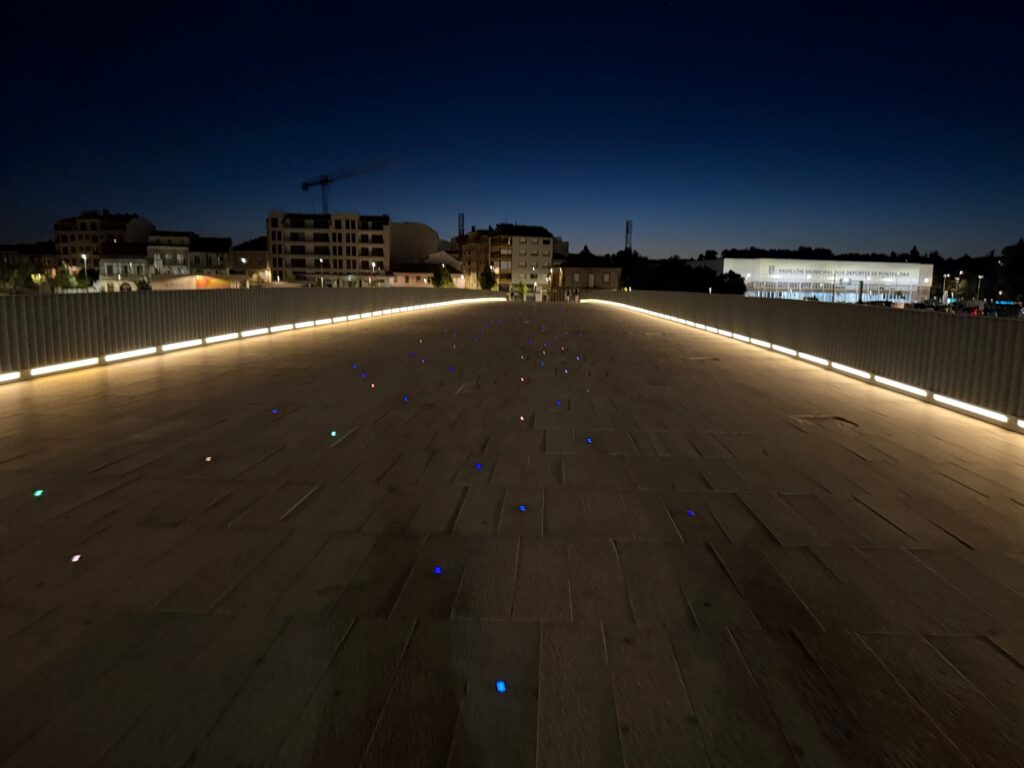
Out of the city in the dark
We were used to starting in the dark by now. We left at 5:53, crossing the river on a lit bridge while the city slept. The route follows quiet roads and small hills on the Poio peninsula as the sky turns from black to orange.
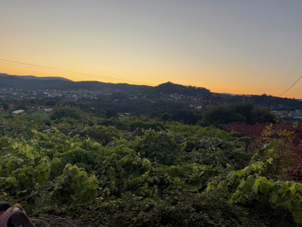
Poio and the shore
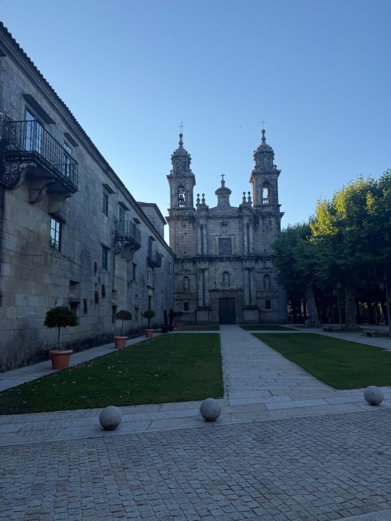
The first big stop is the Monastery of San Xoán de Poio, with its two granite towers. For centuries it was the most powerful place on this part of the coast.
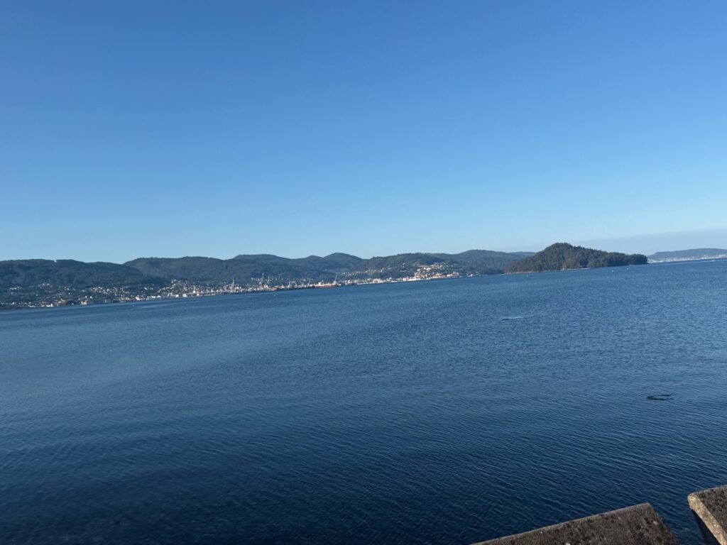
From Poio the route drops almost to sea level, along the shore near Combarro. This old village is known for its stone granaries and stone crosses. The morning was perfect, with flat blue water, palm trees and green hills across the bay.
The climb
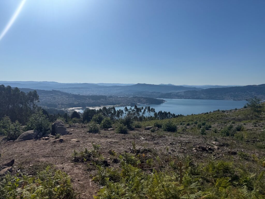
Then everything changes. From the shore, the route goes straight up the hill, gaining 400 metres in about six kilometres. This was the hardest climb of our walk. Much of it is on steep paths where you have to watch your feet.
Do stop and look back, though. The higher you go, the better the view gets. We stopped for the view and to catch our breath about equally.
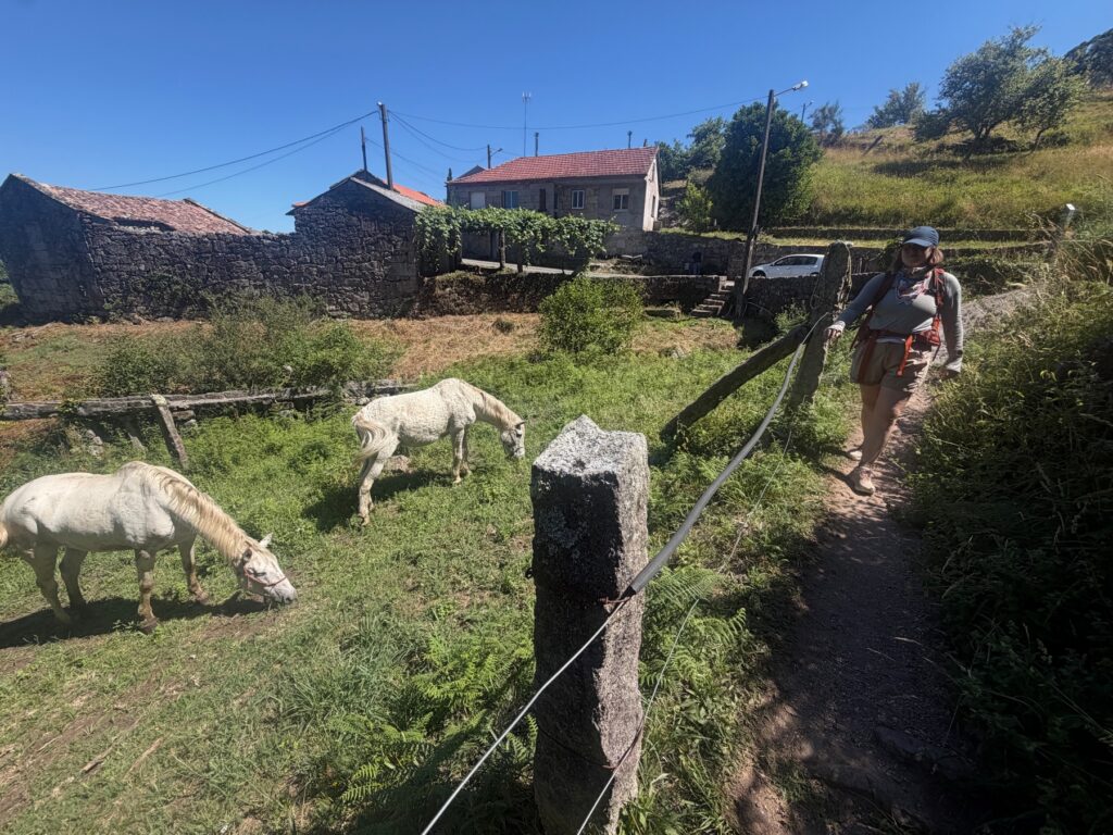
Near the top, the land opens into high pasture. We saw horses grazing among the stone walls. The high point of 428 metres comes a little after kilometre 17, and then the climbing is over.
Down through the eucalyptus to Armenteira
The last stretch is downhill on forest tracks through tall trees, and it leads to the village of Armenteira.
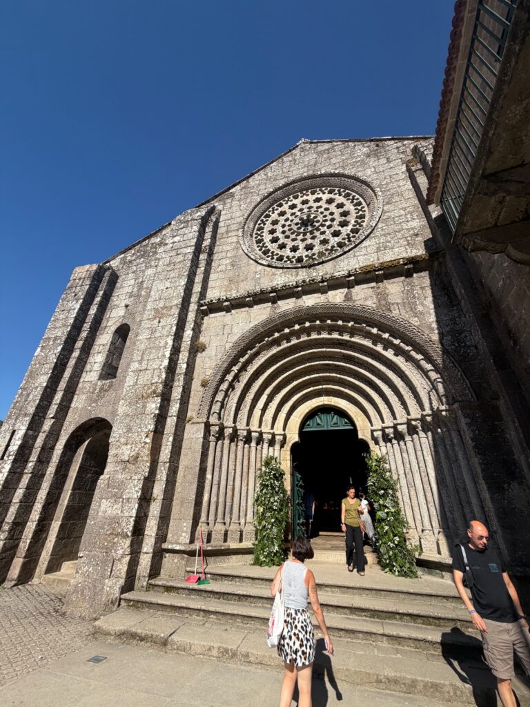
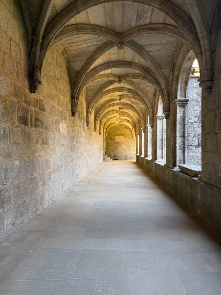
The monastery here was one of the quietest places on our walk. The church has a carved doorway, and round windows let plain light into the stone nave. The cloister is very calm. After 400 metres of climbing, we were happy to sit there for a while.
Practical Info
- Start: Pontevedra old town. The Variante Espiritual heads west toward Poio.
- End: Armenteira.
- Distance / Difficulty: 20.6 km with 732 m of gain. Hard, with one sustained climb of about 400 m in 6 km.
- Allow: About seven hours with stops. Start early.
- The Variante Espiritual: The boat from Vilanova de Arousa completes the route, so check schedules in advance.
- Food & water: Stock up before the climb.
- Armenteira: The monastery is a religious community. Check visiting hours, and respect the quiet.
- Route status: Sources differ on how official the variant is. Check with the Pilgrim Office if your Compostela matters to you.