
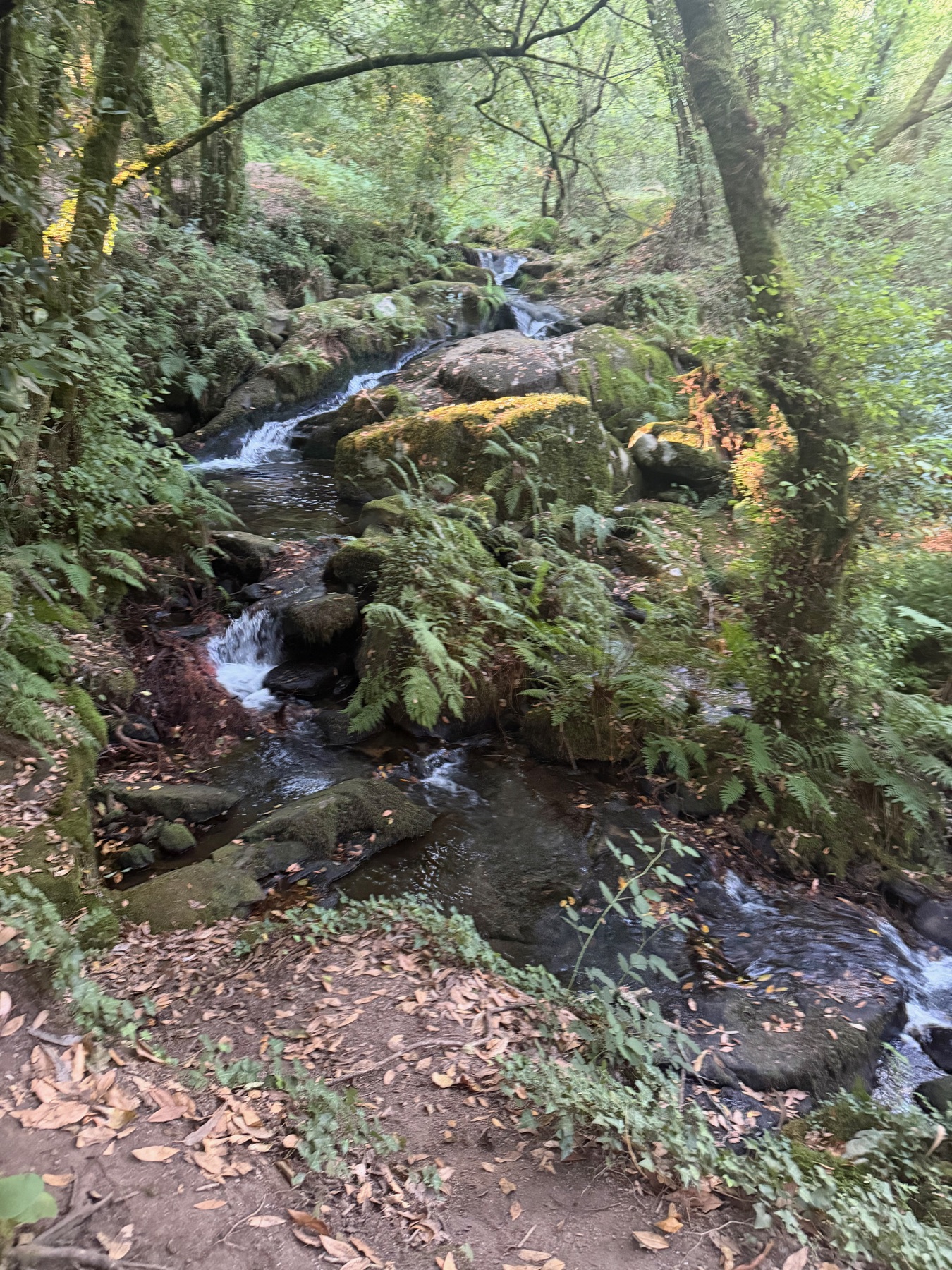
If we could do one morning of the walk again, it might be this one. After the big climb the day before, Day 9 starts with a slow walk down through a beautiful green forest. Then the land opens up, and the day ends on a boardwalk by the sea.
We left Armenteira at 8:33, which felt like sleeping in after the last three days.
The Ruta da Pedra e da Auga
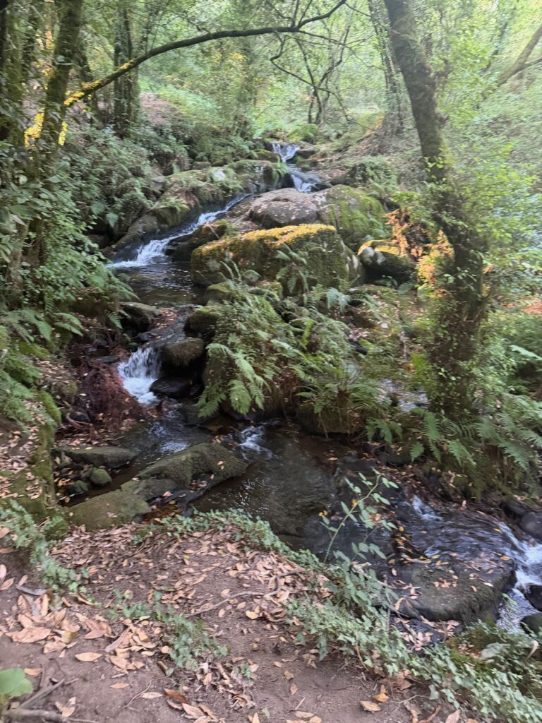
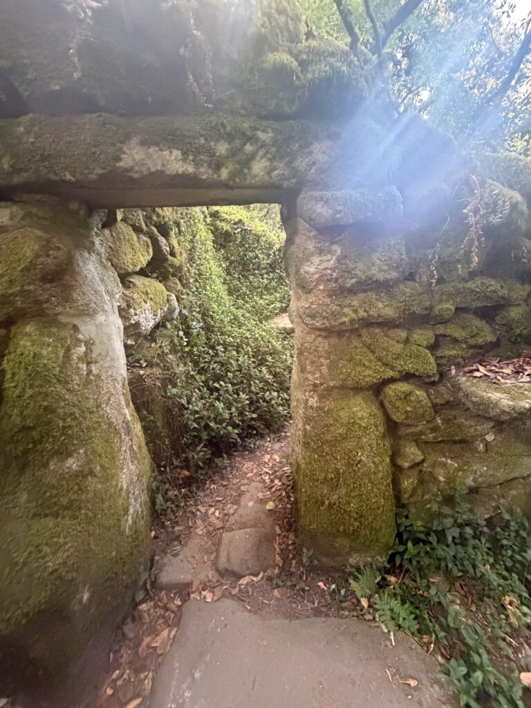
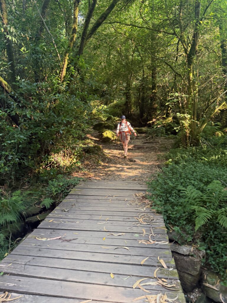
The route out of Armenteira follows the Ruta da Pedra e da Auga, the Route of Stone and Water. The name fits. For the first few kilometres, the path runs beside a stream and down through a green gorge full of ferns, moss and old trees. You also pass old stone ruins that the forest is slowly taking back.
We did not want this part to end. There are narrow paths, small wooden bridges and tiny waterfalls. It is damp and quiet, and after a week of sun it felt like walking into a cool room.
Vines and the river
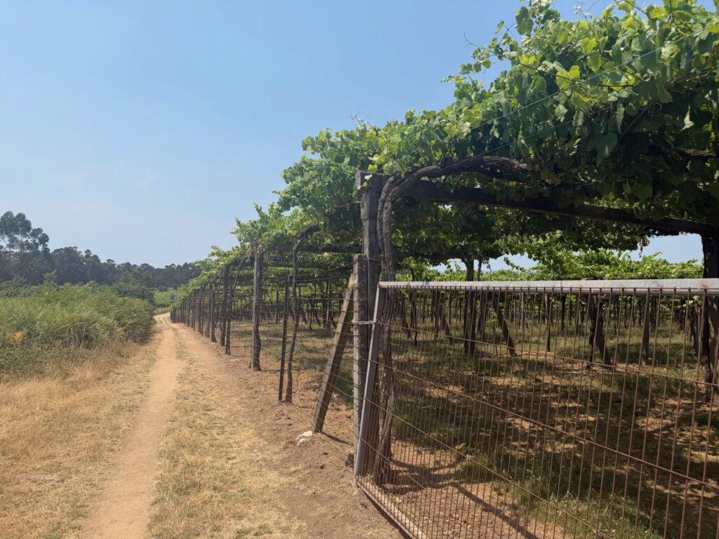
At the bottom of the gorge the land changes again. The path runs beside vineyards, with a river running through flat green fields. A long wooden boardwalk crosses the wet ground. It is flat and easy walking.
We stopped at a bar with a shady terrace above the water. It was a simple stop, but those are often the ones you remember.
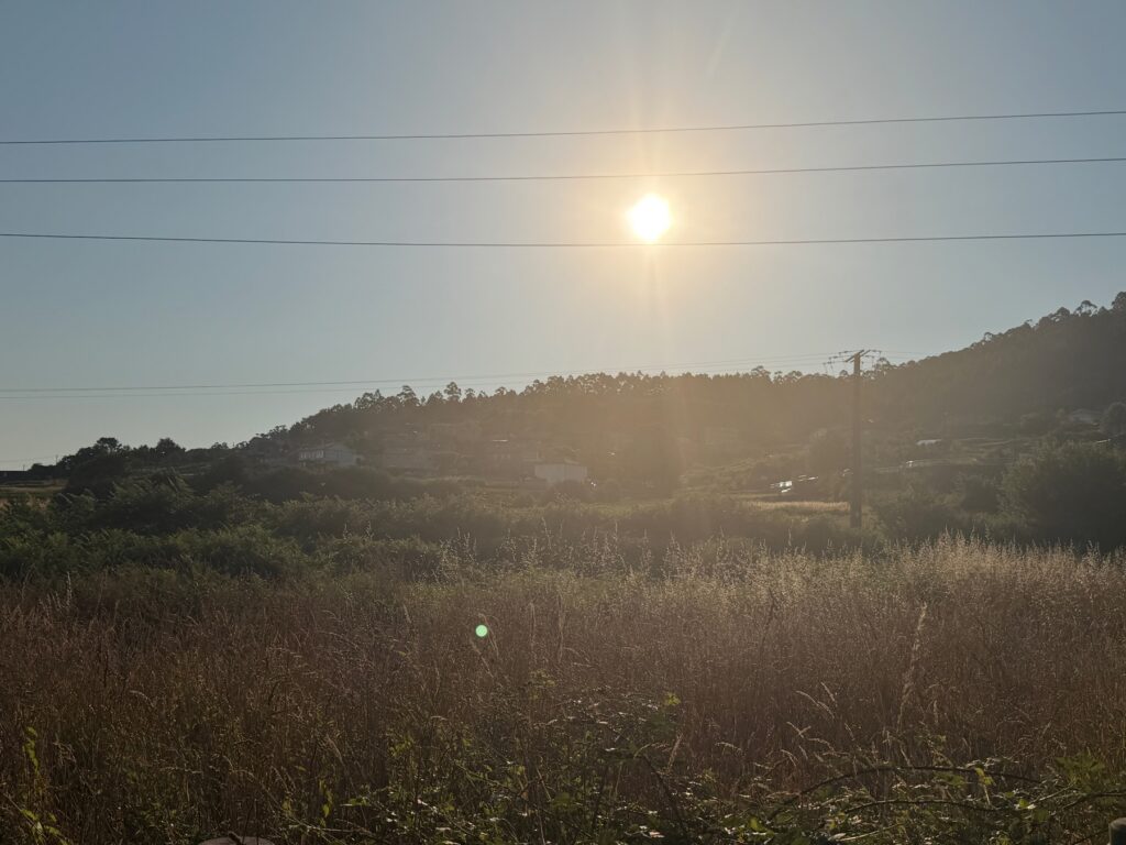
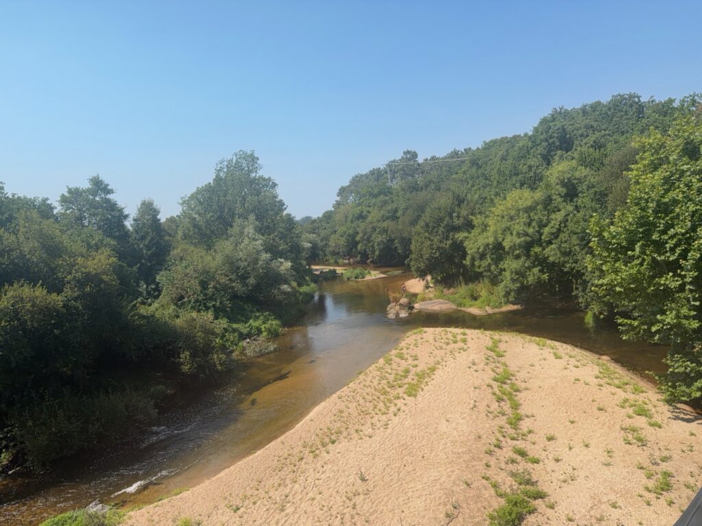
In the afternoon the route follows a long track through eucalyptus trees, then a path along the river as it widens toward the sea. It is the plainest part of the stage, and that was fine with us.
Vilanova de Arousa
The last part of the walk comes in over the water. After days inland, we were glad to see a sandy beach, pine trees and a boardwalk over the shallows. The route then follows the seafront around the bay to Vilanova.
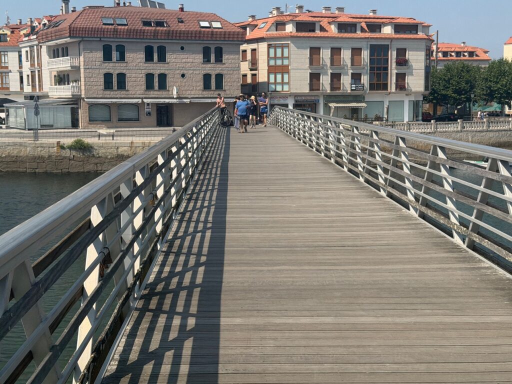
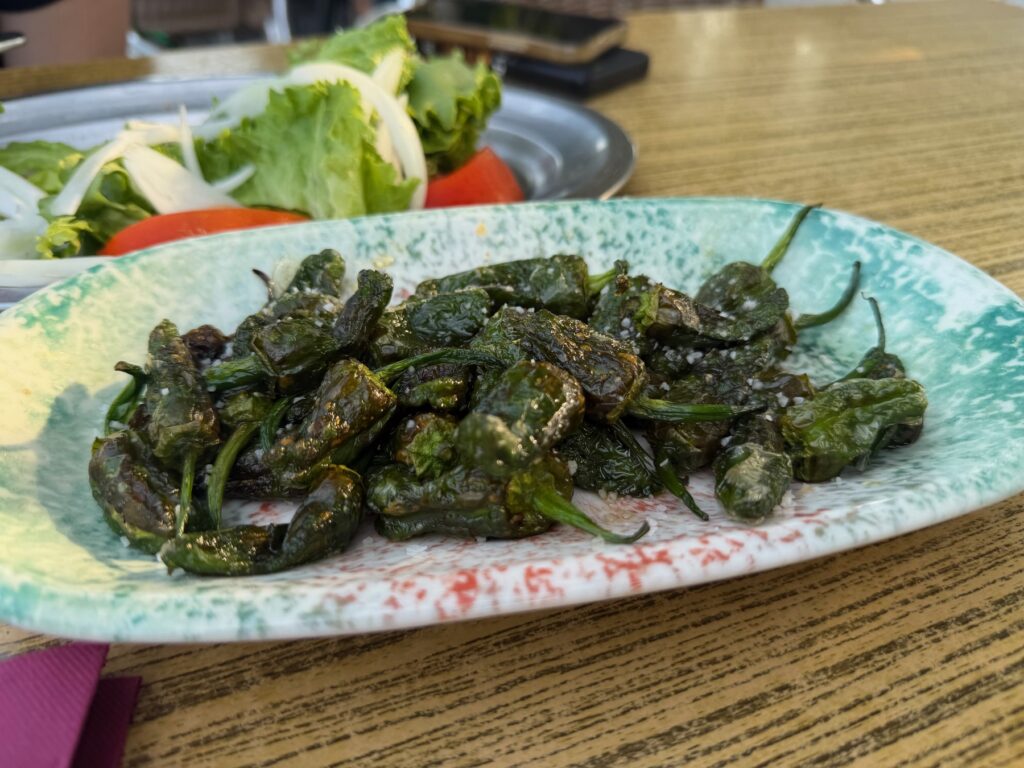
Vilanova is a quiet seaside town. We got there around 5:45 in the afternoon, sat down and ordered Padrón peppers, which we had been hearing about for nine days. They are small, green and blistered, and after 24 kilometres they tasted great.
Practical Info
- Start: Armenteira. The Ruta da Pedra e da Auga begins close to the village.
- End: Vilanova de Arousa waterfront.
- Distance / Difficulty: 24.5 km. Easy to moderate, mostly downhill or flat, with some rock and steps in the gorge.
- Allow: Up to nine hours with long stops.
- Footwear: The gorge can be wet and slippery.
- Food & water: Plan your water for the first hours in the gorge.
- The Traslatio boat: Boats run from Vilanova de Arousa to Pontecesures, next to Padrón. Check departure times the day before.