Sedona’s red rocks look unreal in photos, and they look just as good in person. The town sits among huge sandstone buttes in shades of rust, orange and cream, and many trails start right by the road. On a clear Sunday in October, the plan was to start early and keep moving.
The shuttle and Cathedral Rock
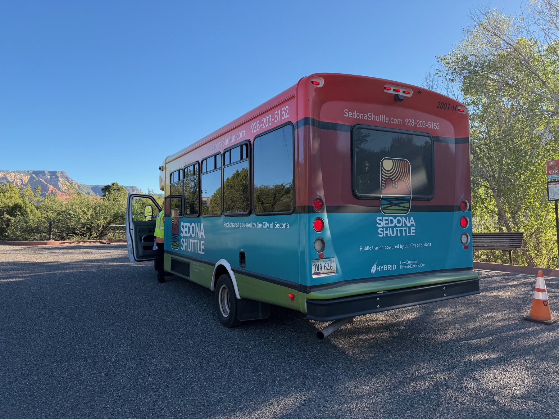
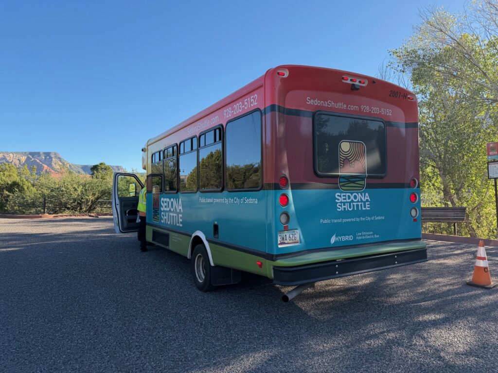
Parking got so bad here that the city now runs a free shuttle to its busiest trailheads on peak days. It saves you from driving around a full parking lot. Catch one of the first runs if you can.
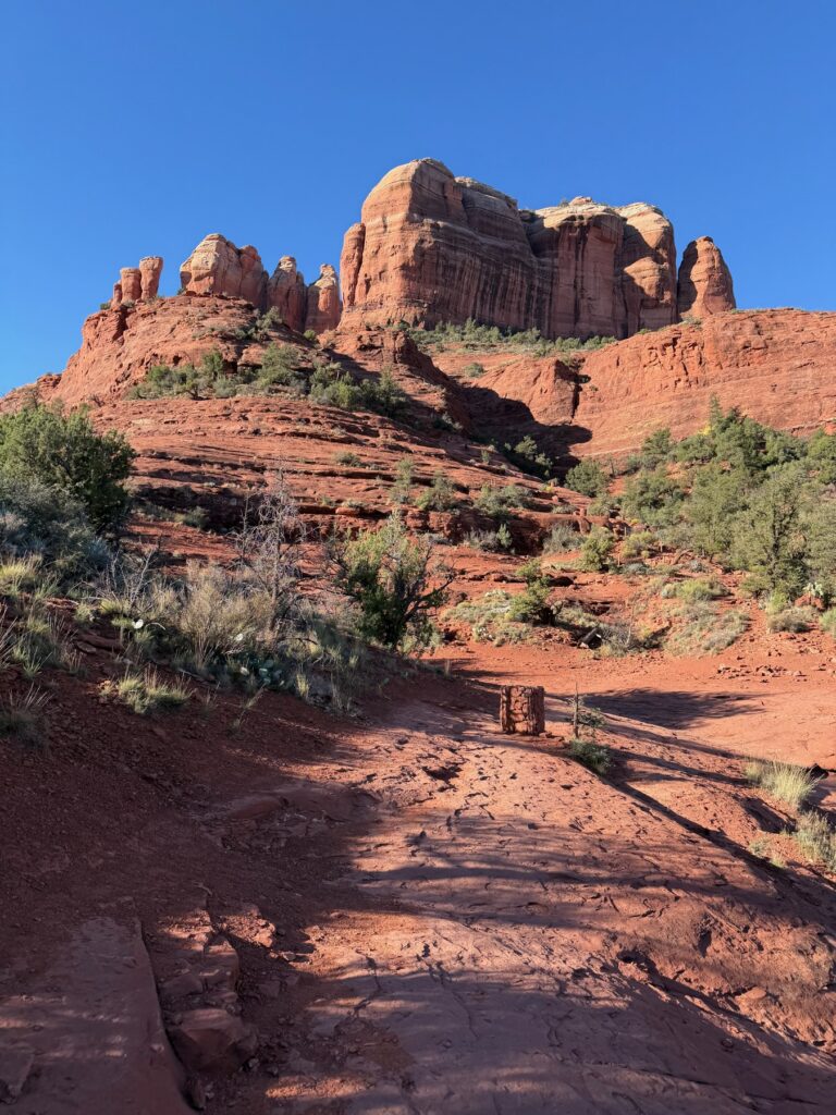
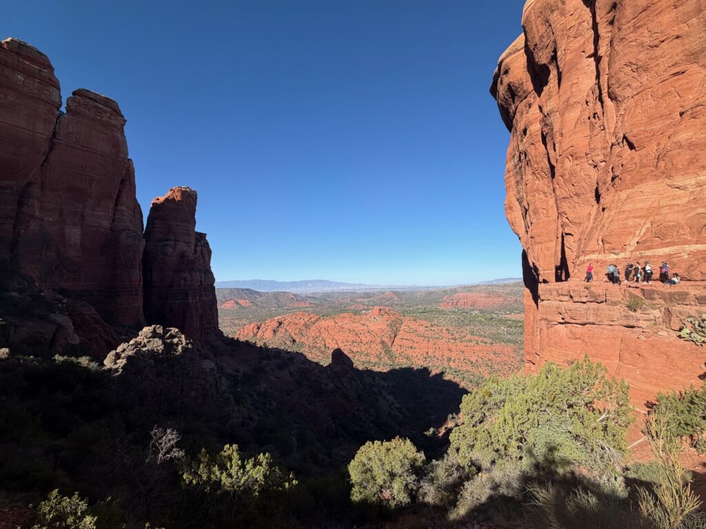
Cathedral Rock is the best known of the rock formations. It looks best in the low light of early morning. The trail to the saddle is short and steep, with a scramble over bare rock near the top.
Devil’s Bridge
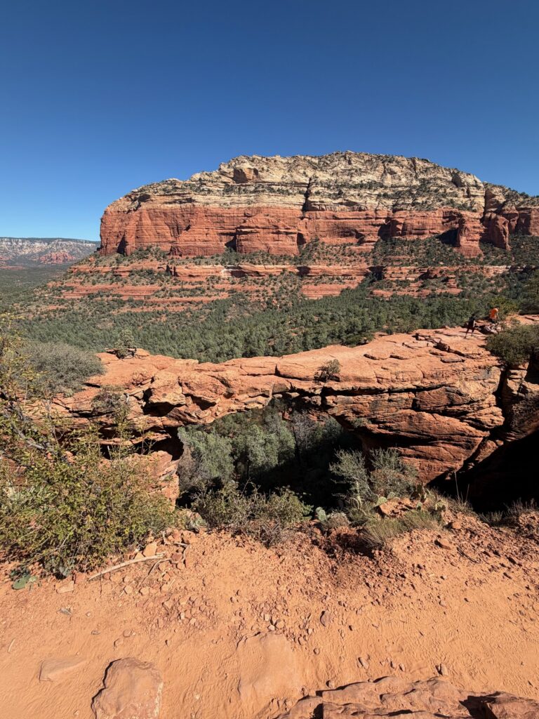
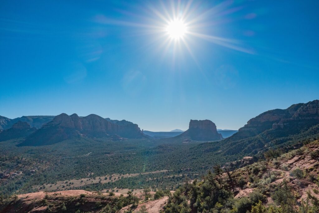
Devil’s Bridge is the largest natural sandstone arch in the Sedona area. Walking out on it is the classic Sedona photo. The line for pictures can get long by late morning. The view from the area around it is worth seeing even if you skip the photo.
Windows in the rock
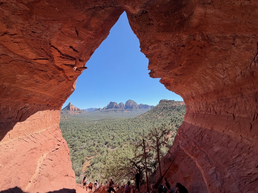
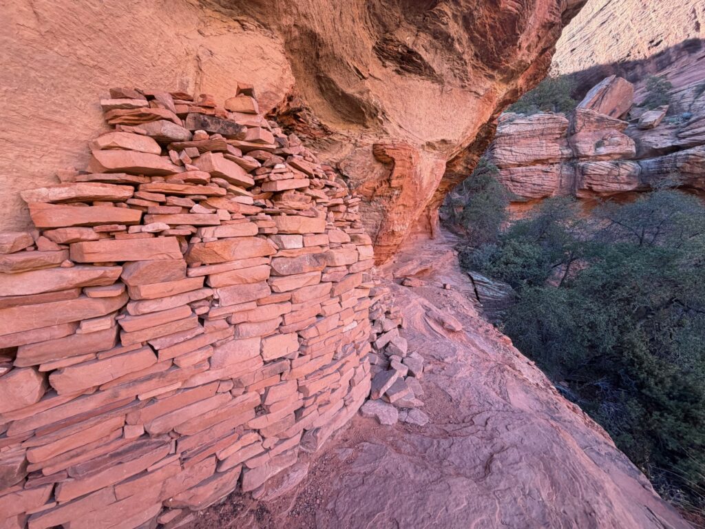
The best surprise came after the busy trails. Sedona’s cliffs are full of small caves. One of them has a teardrop-shaped window with a butte framed in the middle. Inside, the walls are stacked in thin layers.
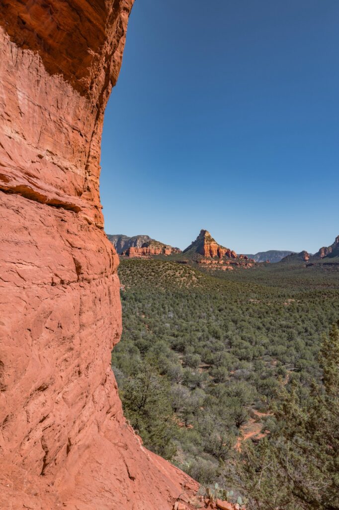
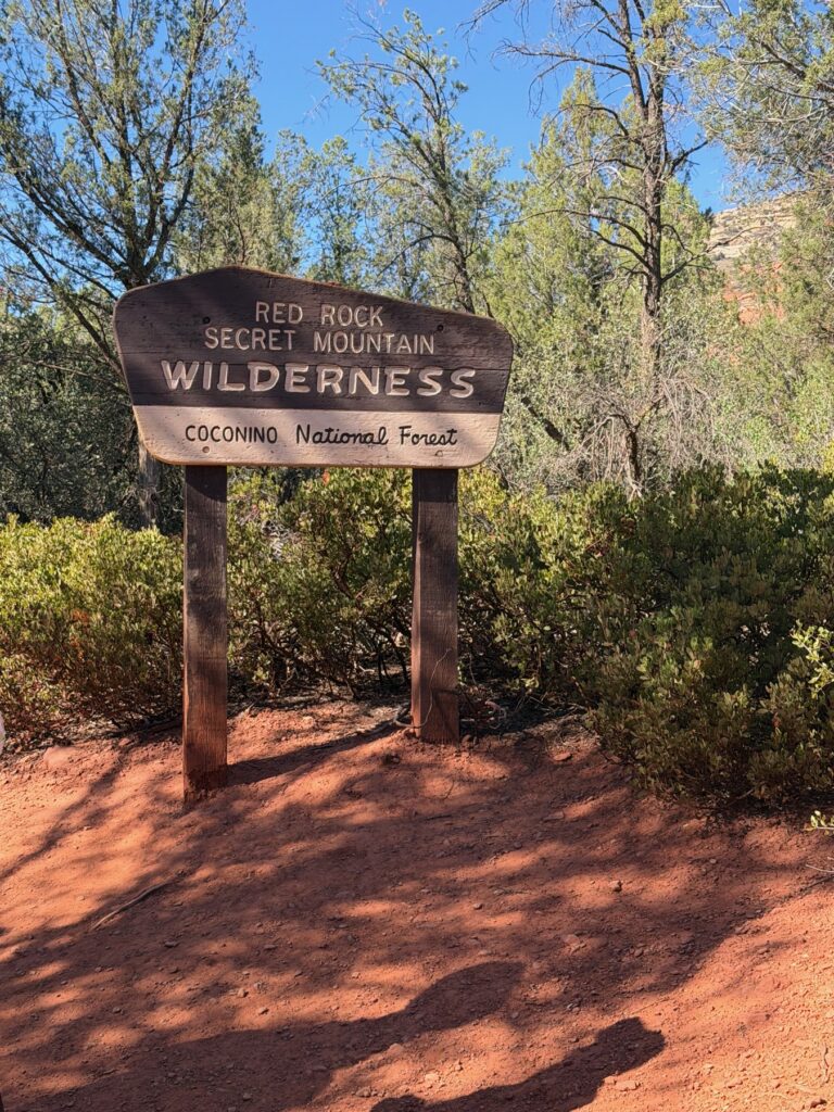
Much of this land is part of the Red Rock Secret Mountain Wilderness, in the Coconino National Forest. Carry water and stay on the trail.
Sunset
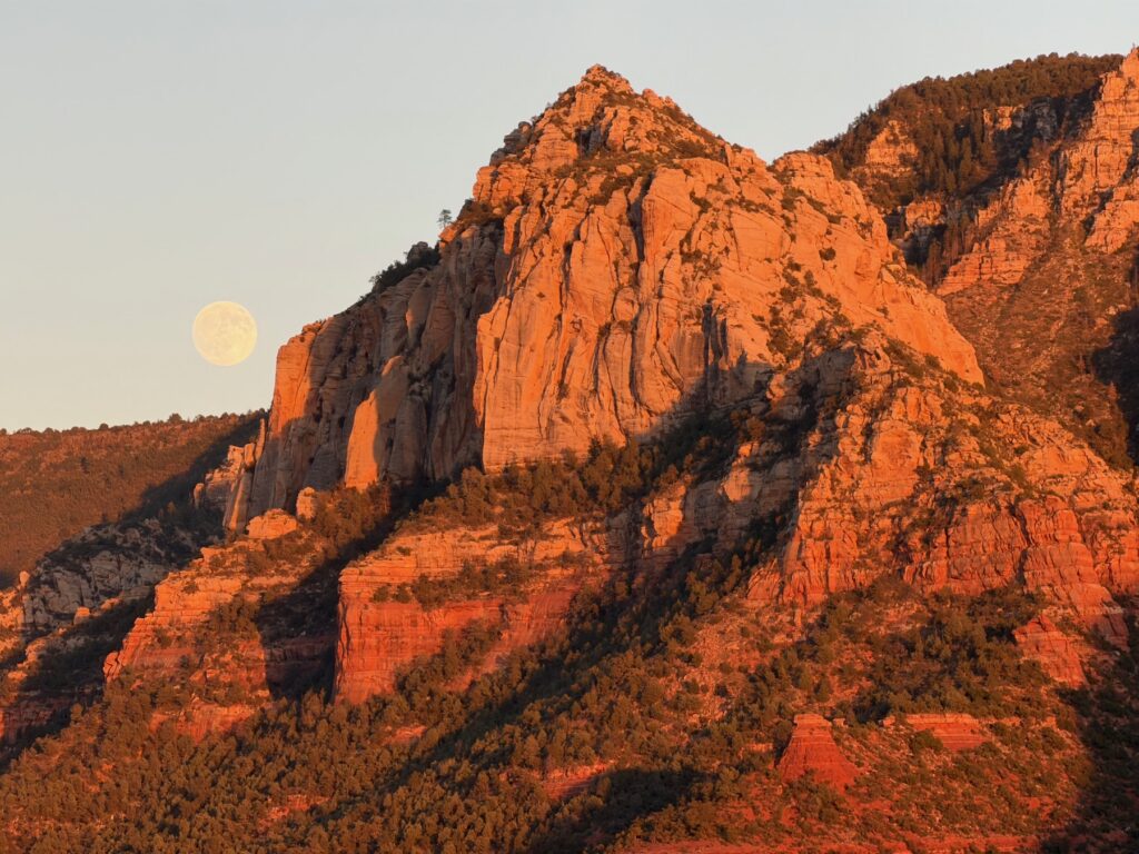
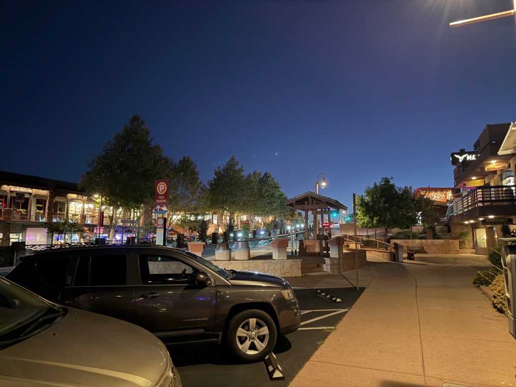
In the last hour before sunset, the cliffs above town turn a deep orange, then quickly fade. The town’s shops and restaurants light up soon after, and that is a good time to stop walking.
Practical Info
- Where: Sedona, Arizona, about two hours north of Phoenix.
- Sedona Shuttle: Free, and runs on peak days to the busiest trailheads. Check the current schedule, since some trailhead parking is restricted.
- Parking: Many trailheads require a Red Rock Pass or similar. Check the signs.
- Hiking: Start early, carry plenty of water, and wear shoes with good grip for the slickrock.
- Allow: A full day for two big hikes, and more if you want to take it slowly.