Most of the land in northern Arizona formed over millions of years. Sunset Crater is much younger. Around the year 1085, a volcano erupted north of what is now Flagstaff and built a cinder cone about 1,000 feet high.
People living here at the time saw it happen, and ash fell across the area. The name came much later, from the red and yellow colors around the rim of the cone.
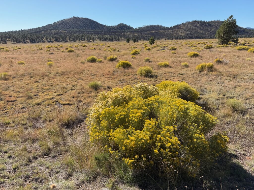
Bonito Lava Flow
Sunset Crater Volcano National Monument was created in 1930, partly to stop a film crew from blowing it up for a movie. Climbing the cone has not been allowed since the 1970s, because feet were wearing it away. You can walk the trails around its base. The Lava Flow Trail crosses the rough black rock of the Bonito Lava Flow.
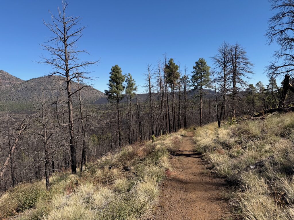
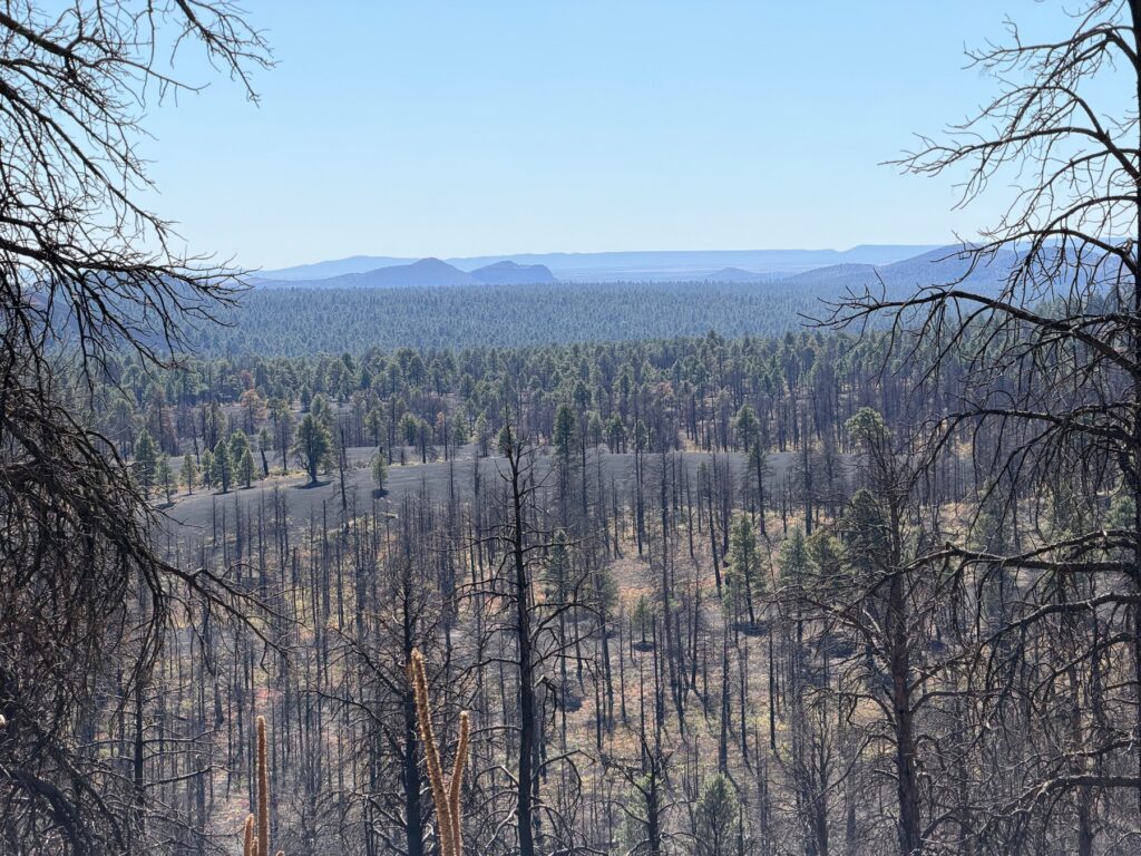
After the fire
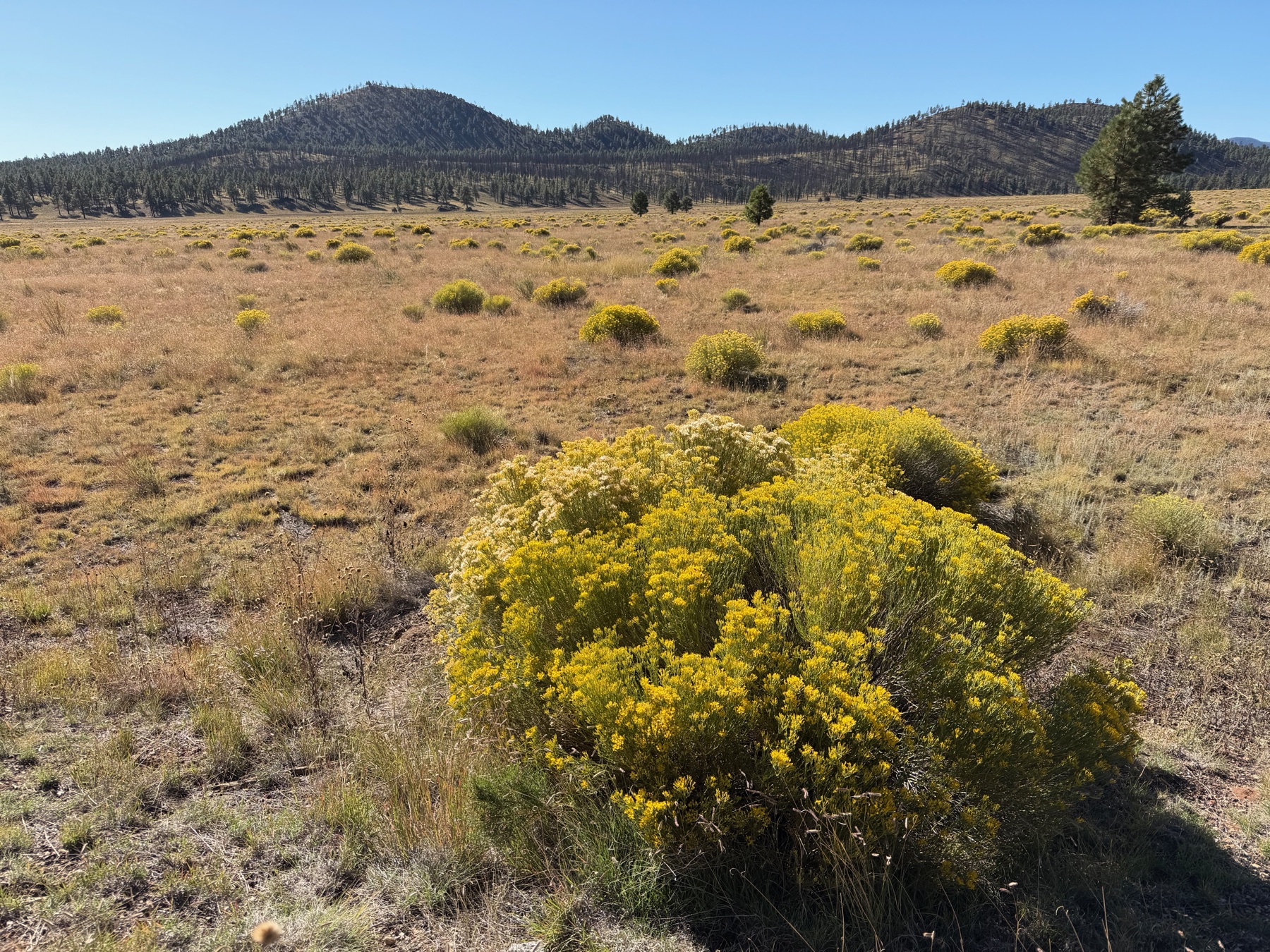
You will also see signs of fire here. The 2022 Tunnel Fire burned through this area north of Flagstaff. Black tree trunks stand in rows on the slopes, and you can see through them to the mesas on the horizon.
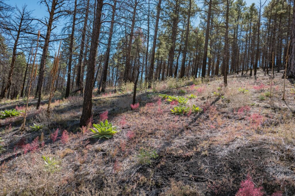
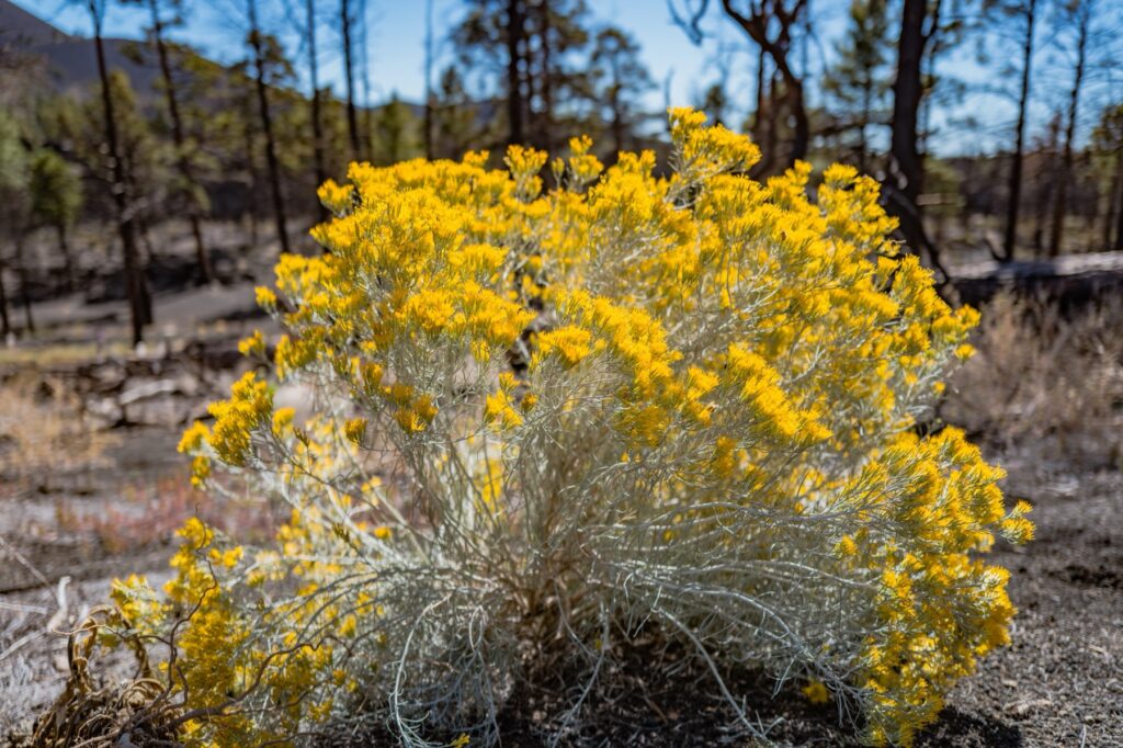
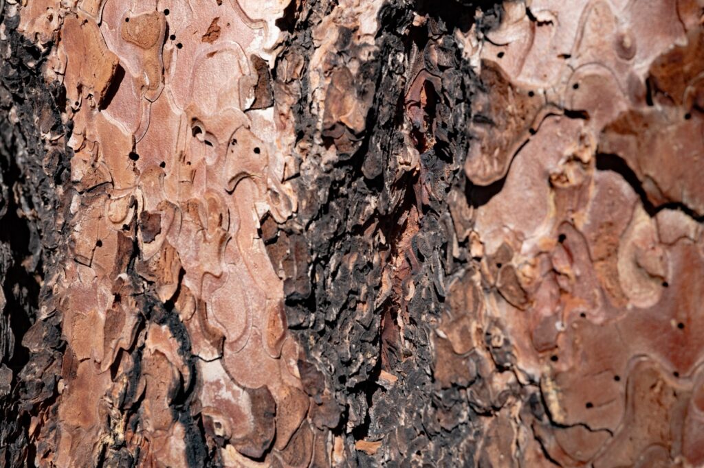
The ground is coming back. Green plants and patches of pink grow up through the ash, and in October the rabbitbrush is bright yellow. The surviving ponderosa pines have thick bark that helps them live through fires.
Practical Info
- Where: Sunset Crater Volcano National Monument, off US 89, north of Flagstaff, Arizona.
- Fees: There is an entrance fee, and America the Beautiful passes are accepted. Check current prices.
- Trails: The Lava Flow Trail is the main walk. Climbing the cone itself is not allowed.
- Combine with: The scenic loop road continues to Wupatki National Monument.
- Allow: A couple of hours, or a half day with Wupatki.