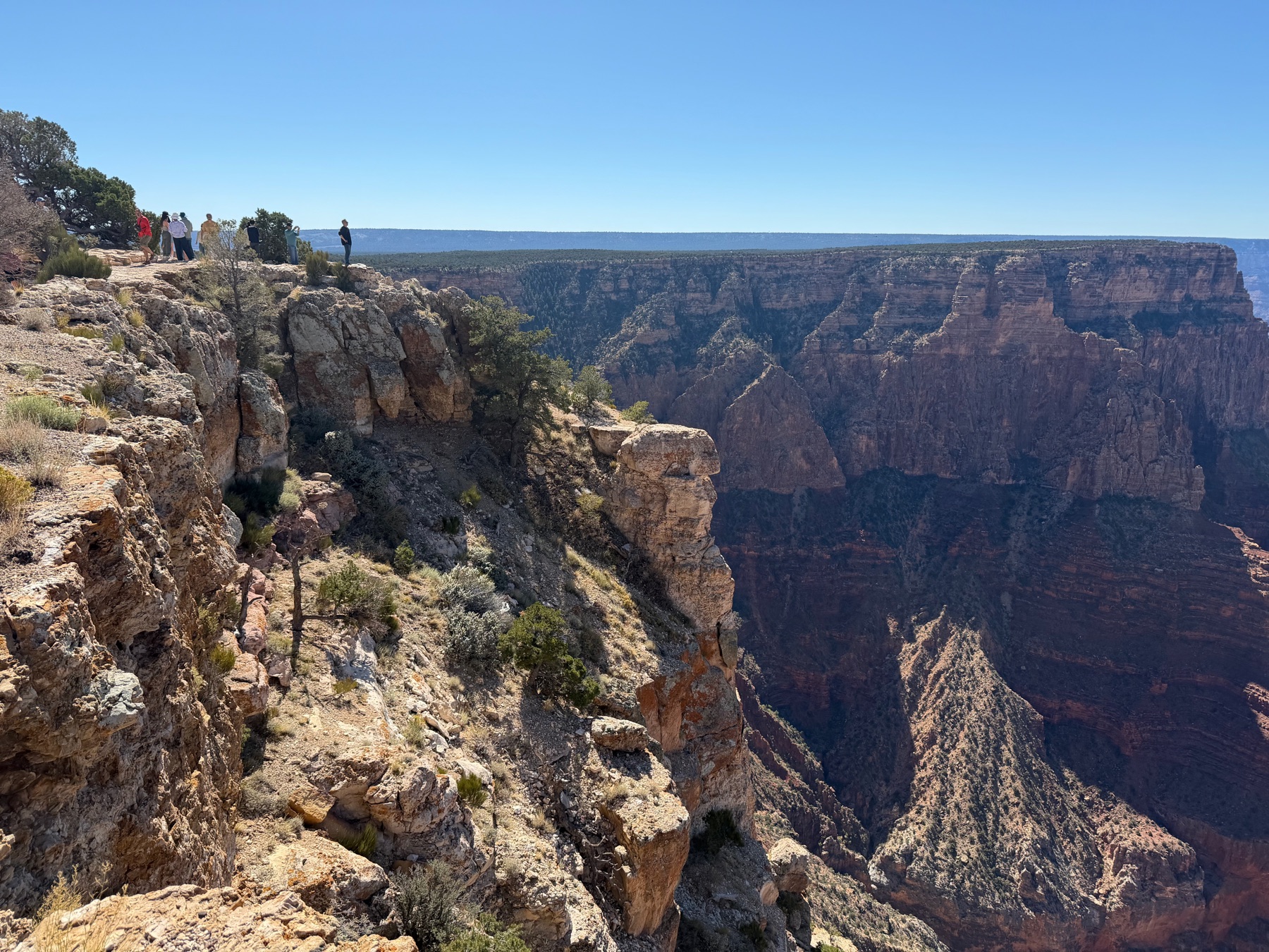
Everyone knows what the Grand Canyon looks like from the rim. It is still hard to believe when you get there. Going below the rim is a different experience, and the South Kaibab Trail is one of the best ways to do it. The best time to start is before the sun comes up.
The South Rim
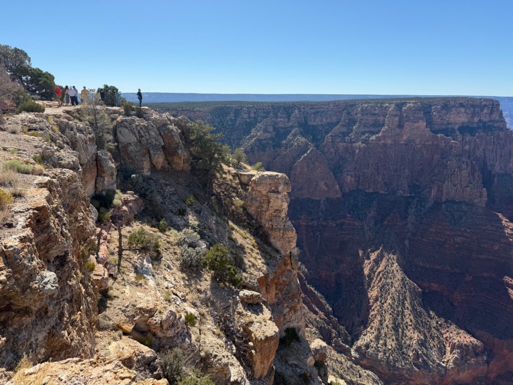
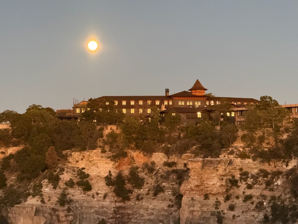
The drive along the rim from the east gives you the first long looks into the canyon. By evening the crowds at Grand Canyon Village had thinned, and a nearly full moon rose over the lodge on the rim.
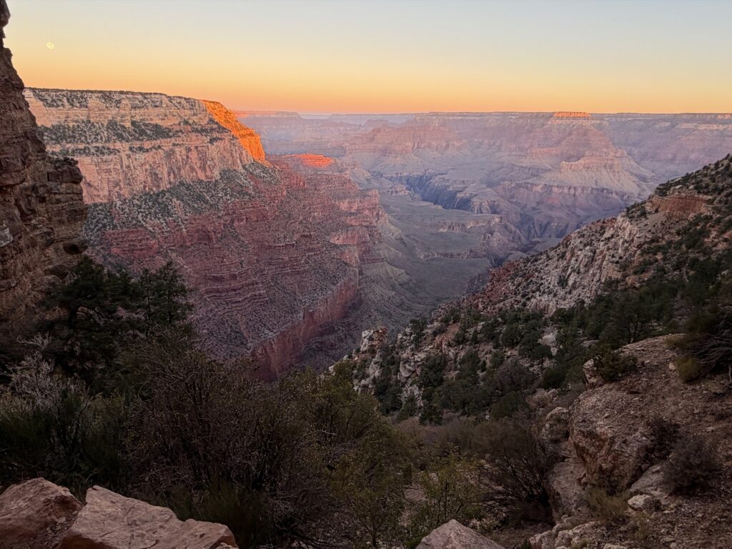
Before dawn
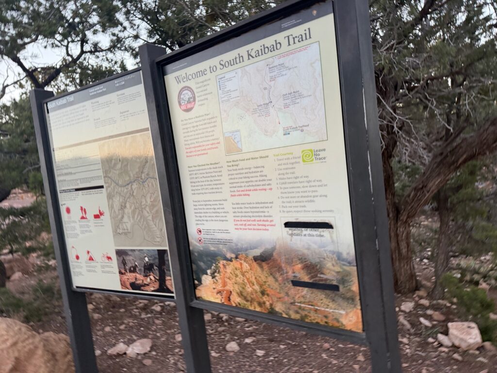
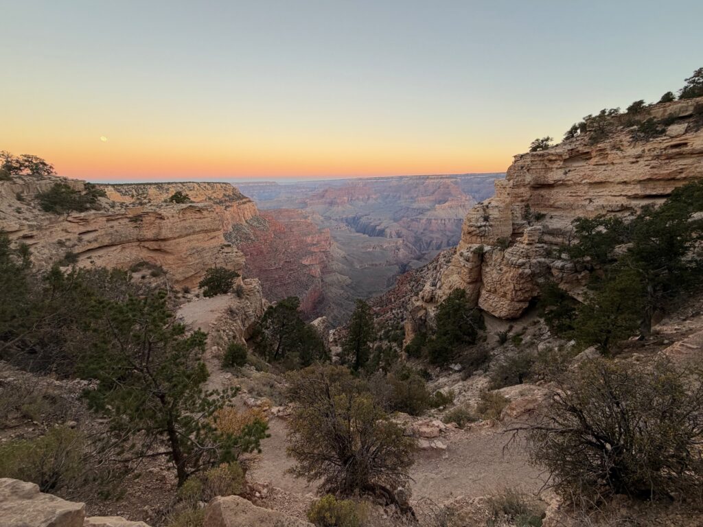
The South Kaibab trailhead is near Yaki Point, on a road closed to private cars, so the day started on the park shuttle in the dark. It is hard to get up that early, but it is worth it to start down the trail as the sky begins to get light.
Down the ridge
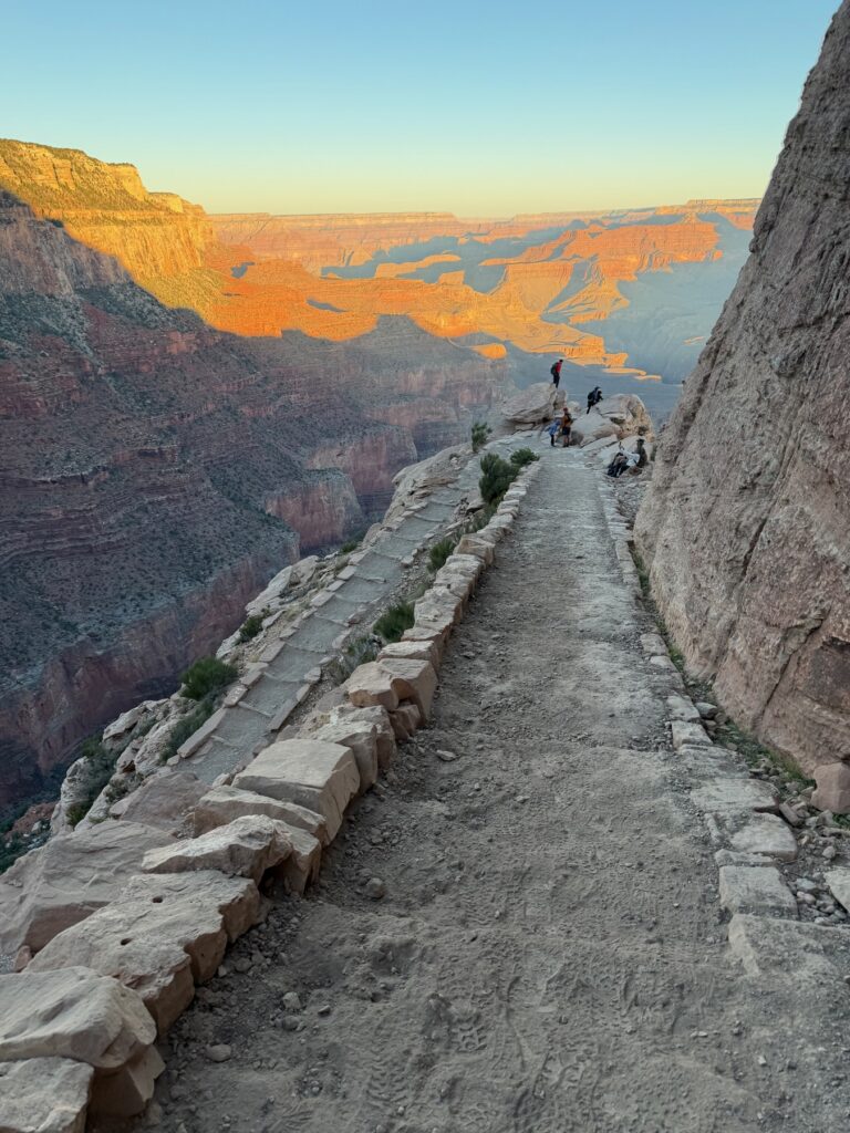
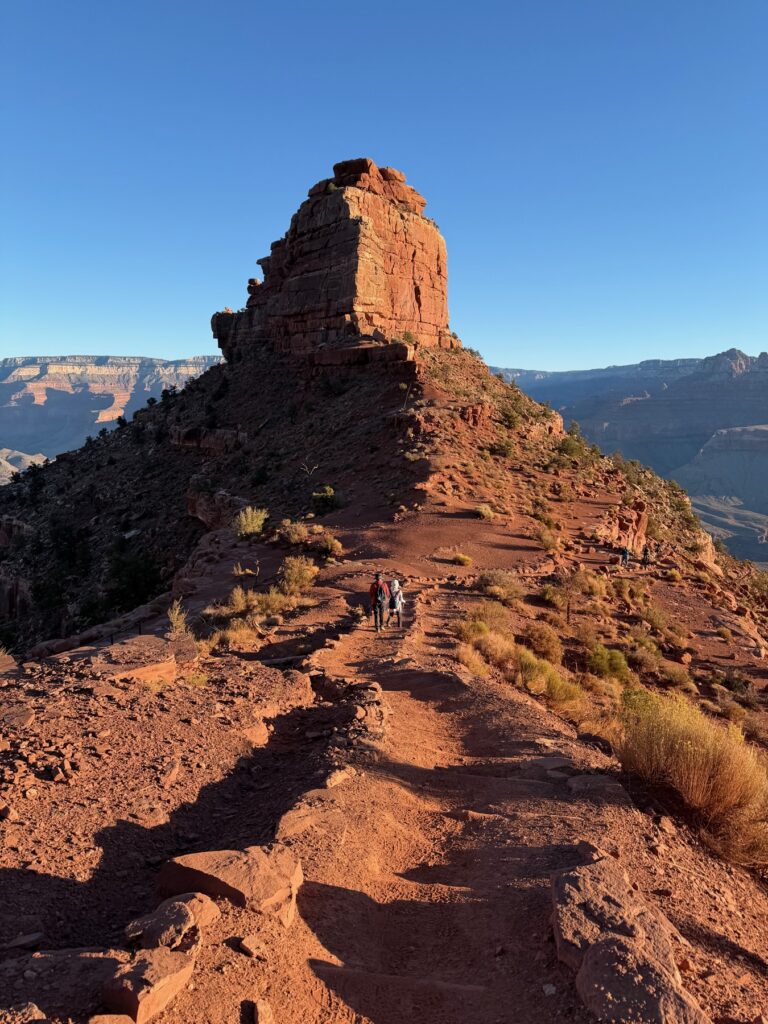
The Bright Angel Trail stays in a side canyon. The South Kaibab follows the top of a ridge. It drops in steep switchbacks through the upper cliffs, then runs along the ridge with big views on both sides. There is no water and very little shade, so starting at dawn matters.
Canyon company
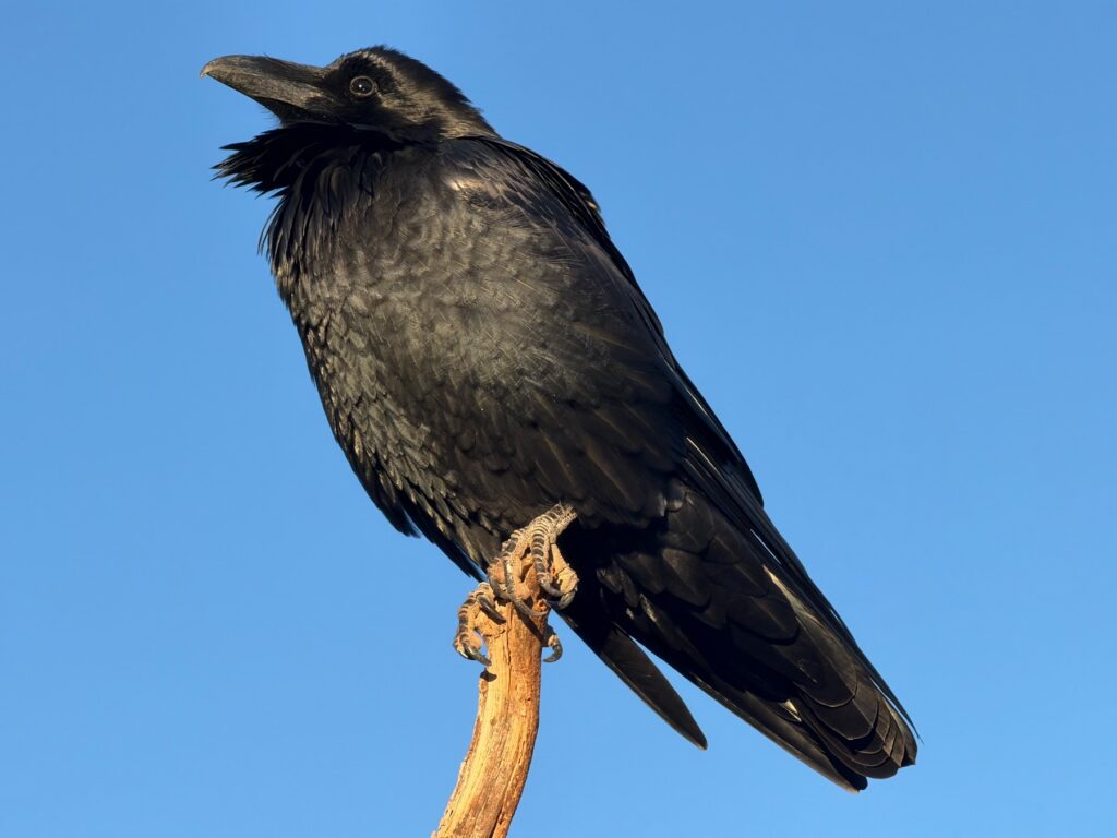
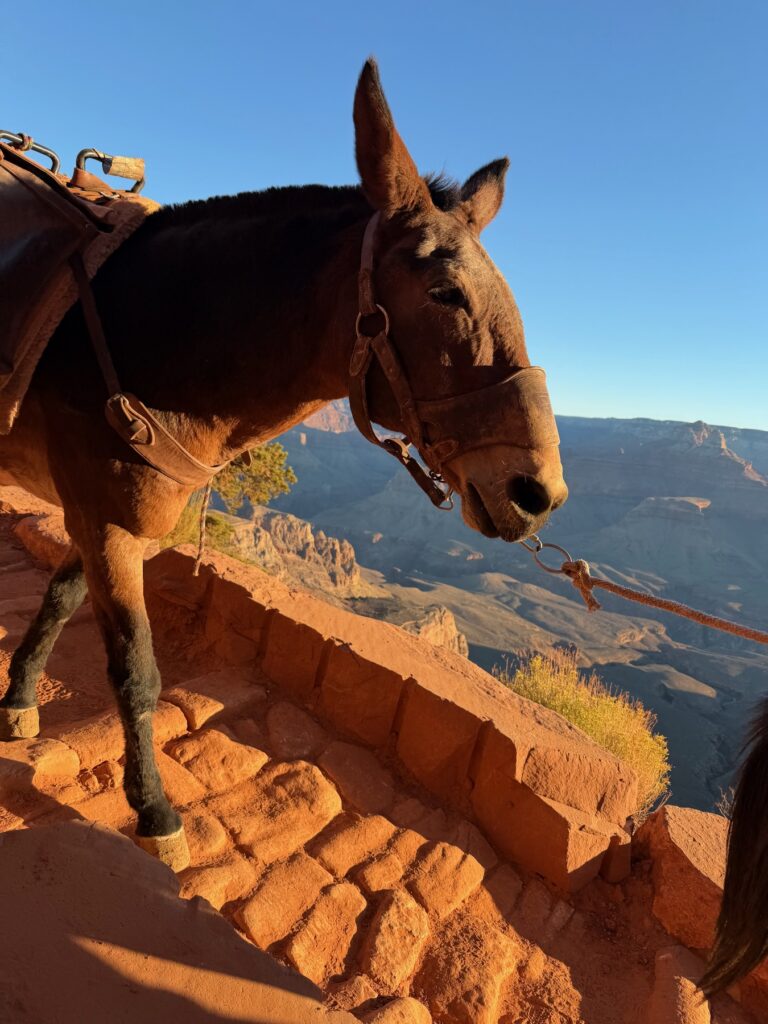
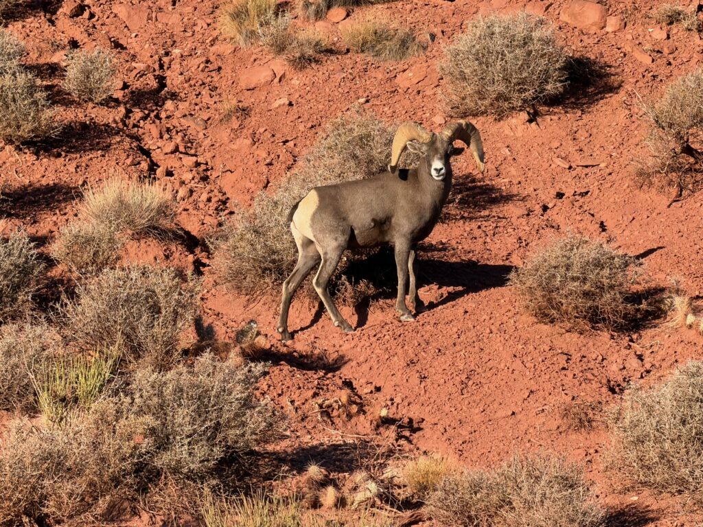
You are not alone on the trail at that hour. A raven sat on a dead branch beside the path and ignored everyone. Mules still work this trail, and hikers step aside to let them pass. Farther down, a bighorn sheep walked through the brush as if the slope were flat.
The Tonto Platform
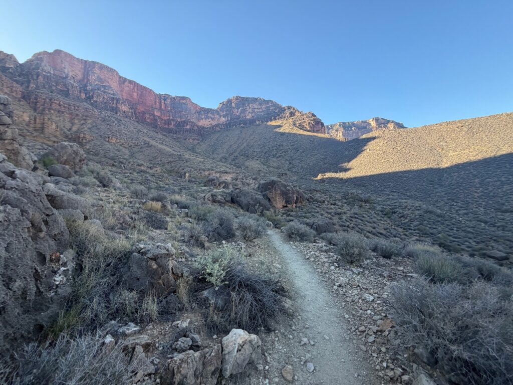
By nine in the morning, the trail had dropped well below the red cliffs and out onto the wide Tonto Platform. It is a quiet, scrubby shelf far below the rim. It is also a good place to remember the rule of the canyon: everything you walk down, you still have to walk back up.
Back up the Bright Angel
We made it a loop. We went down the South Kaibab and came back up the Bright Angel Trail, which ends right at Grand Canyon Village. We stayed at Bright Angel Lodge, so the hike finished close to our room.
Practical Info
- Where: South Kaibab Trailhead, near Yaki Point, South Rim, Grand Canyon National Park.
- Our route: Down the South Kaibab and up the Bright Angel Trail. This is a long, hard day, so plan it carefully.
- Where we stayed: Bright Angel Lodge, near the top of the Bright Angel Trail.
- Getting there: The trailhead road is closed to private cars, so take the park shuttle. Check the first departure time.
- Water: There is no water on the South Kaibab. Carry everything you need.
- Heat: The canyon gets hotter as you descend. Park rangers strongly warn against hiking to the river and back in a day.
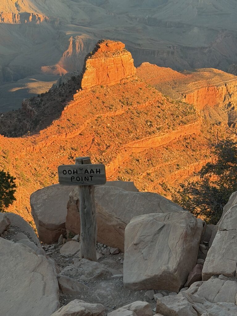
- Distances: Ooh Aah Point is about 0.9 miles down and Cedar Ridge about 1.5 miles. Allow twice as long to climb back up.